Navigate using four 3D interface options for intuitive directions. Search for locations, gas stations, and parking facilities. Display navigation prompts on the heads-up display with voice alerts.
by BKeen International Corporated★ 0.00 ratingsUtilitiesFreeData updated 2026-09-12
Navigate using real-time traffic updates and turn-by-turn directions. Search for points of interest and receive estimated arrival times. Share locations with others and adjust route preferences for driving or walking.
Provide turn-by-turn navigation from current location or any starting point to a destination. Access a global database of locations including transit stops and user-shared points. Create and save custom routes.
Create voice reminders with scheduled notifications using spoken input. Record and playback transcribed text. Tag, pin, and archive for easy organization and retrieval.
Plan trips with real-time schedules and route details. Find transfer options, ticket prices, and travel times. Access nearby locations and navigation. View site maps and service info. Navigate offline without internet.
Track real-time availability in downtown . Locate nearby lots using an interactive map. View live updates on spot availability to reduce search time. Navigate with a clean, intuitive interface.
Navigate using real-time alerts and avoid speed cameras. Choose optimal routes based on accurate data. Report new cameras, police traps, and road hazards. Get notifications along your route. Sync with GPS for precise location-based warnings.
Set alarms with customizable sounds or music. Adjust wake-up time based on weather conditions. Display current temperature and five-day forecast. Include a flashlight and digital clock interface.
Access municipal services for parking reservations, license renewals, and permit applications. View service status, submit requests, and receive notifications. Navigate city services through an updated interface with interactive features.
Shenzhen DEPCON Auto Electronic Technology Co.,Ltd.
Control suspension, view pressure data, adjust settings
Control vehicle suspension height via Bluetooth. Monitor air pressure of four air springs and air tank. Display real-time status updates. Choose from six languages. Simplified interface for easy use.
Find real-time transit updates for buses, trams, bikes, and bike-taxis. Check parking availability and route directions. Access schedules and service alerts for Rabat-Salé-Témara region. Navigate with integrated maps and multi-modal trip planning.
Find Points of Interest with detailed categories including hotels, banks, toilets, tourist attractions, and hospitals. View routes and locations offline. Search for specific POIs and navigate using map-based directions.
Plan and navigate off-road trails with detailed maps and turn-by-turn directions. Mark favorite routes and track progress. Share data and receive real-time updates on conditions. Sync with GPS devices for accurate navigation.
Find nearby EV stations with real-time availability and pricing. Navigate to locations using maps and directions. View station details including connector types and payment options.
Navigate with augmented reality for real-time directions. Access offline maps and metro guides for planning. Explore interactive points of interest including public transport, dining, and attractions.
Allows users to stream stations, customize display modes between list and grid, and select theme colors. Users can organize favorite stations and adjust their order.
Find nearby facilities, shops, restaurants, and sightseeing spots using GPS or a selected location. Tap keywords to filter results. View directions and real-time AR navigation overlays. Save favorite locations and share them with others.
Search for businesses and legal entities using geographic location within the Golden Book database. View results with call options, map directions, and map display. Save search history. Choose between geographic search or city-based search.
Find electrical connectors for Nissan vehicles by selecting vehicle models and systems. Search for nearby dealer locations using dealer numbers. Skip location information if preferred.
View detailed maps of all districts and cities in with full street names, house numbers, and building locations. Search for locations and institutions with simple options. Navigate with ease and access public transport routes and schedules.
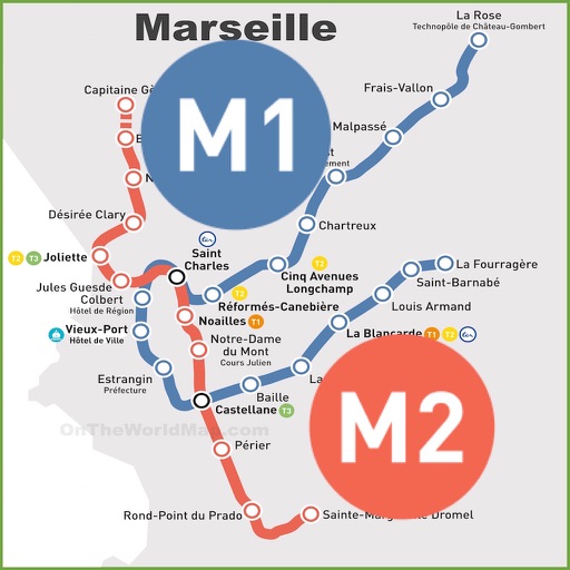
Find routes between two metro stations using an interactive map. Display real-time metro layout with station names and connections. Navigate easily during commutes with clear directions and station details.