
We Maps
Makoto Katsumata
Navigation and street view app
The app provides auto navigation for the current location and allows users to create routes on Google Maps. It includes the latest street view, traffic data, and four map types.

Showing 121–140 of 1,000 ranked alternatives.
Makoto Katsumata
Navigation and street view app
The app provides auto navigation for the current location and allows users to create routes on Google Maps. It includes the latest street view, traffic data, and four map types.

Trail X Trail LLC
Map, record, and track trails
Create and navigate custom routes with multi-stop routing. Manage waypoints and record tracks from rides. Save and review recorded routes for future reference.

YOSHIAKI OKUMA
Tokyo Disneyland map with GPS
The app provides a map for Tokyo Disneyland in Japan. Users can find attractions, restaurants, and shows, with directions available via GPS and compass.



炽金 练
Plan trips with subway maps and routes
View subway maps in Traditional Chinese, Simplified Chinese, and English. Plan routes with one-click transfer options. Check station details and first/last train times. Browse lines for quick itinerary planning.
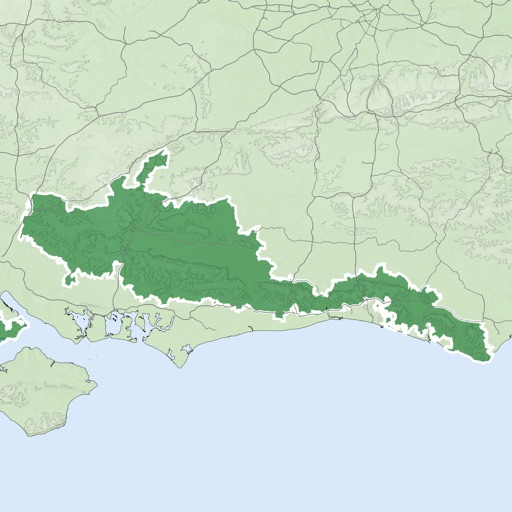


Ilia Bogdanovich
Track trips, record routes, share maps
Record GPS tracks of trips and analyze statistics. Share routes with friends. Use efficient background tracking to minimize battery drain. Supports Open Street Maps and Google Maps.

motocode ltd
Search and find anything on map.
The app supplements the default iOS Maps app. It displays businesses, stations, streets, locations, and monuments on Apple Maps and provides walking or driving directions.


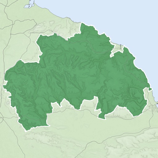


Bist LLC
Navigate with voice prompts and route manager
Access vector charts, freshwater maps, and USACE river maps. Create or import routes using GPX/KML. Receive voice prompts for navigation. View tide and current predictions. Rotate charts with text remaining upright.

Kristian Holmlund
Outdoor map utility for orienteering training.
The app displays the user's real-time position on an imported and calibrated map image. It supports map sharing, KML/KMZ import, and logging tracks for later export.

Apps are ranked by functional similarity, category fit, rating confidence, and popularity.