

Apps Like Map Stretch for iPhone and iPad
Map Stretch screenshots
Ranked alternatives
Showing 381–400 of 1,000 ranked alternatives.

Paris Rail Map Lite
Ansgar Vollmer Und Till Knorr
Parisian transit routes clearly displayed.
The app displays a route map of Central Paris, featuring a route planner to find the fastest travel and a stations index for quick navigation. It includes GPS support to locate nearby stations and high-resolution graphics for clarity.






S2Cells Map
Simon Frost
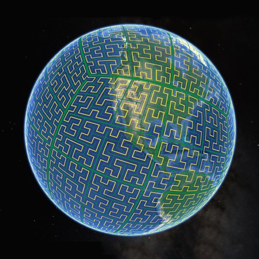
View S2 cells and compare landmarks
Display S2 cell boundaries globally. View cell IDs and compare with real-world landmarks. Integrate with Ingress Intel Map to check portals and stops. Ensure new submissions align with cell boundaries.




Austrian Map Mobile
Garzotto GmbH
Digital maps of Austria with features.
The app provides digital maps of Austria with hill shading and object names. It includes topographic maps and offers functions like searching by name or coordinates, GPS features, and measuring distances.


NaVida
Electronic Chart Centre AS
Maps and charts for land and sea.
The app provides map display for land and sea with multiple map layers including OpenStreetMap and Apple Maps imagery. It offers features like offline map data, places of interest search, and waypoint management with GPX file support.


Viewfinder - Explore the World!
Igor Shtygashev
Explore the world through photos.
The app shows hundreds of photos from around the world. It places photo markers on an interactive map to show shooting points for sights and landmarks.

NZ Topo50 North Island
Right Place Resources Limited
Offline maps for New Zealand's North
The app provides offline topographic map coverage of New Zealand's North Island. It includes satellite images, elevation data, and integrated information on land boundaries and trails.
How we rank alternatives
Apps are ranked by functional similarity, category fit, rating confidence, and popularity.