Generate QR codes for text, websites, WiFi, contacts, locations, emails, phone numbers, or events. Customize designs with colors, shapes, and styles. Share QR codes via image or link.
Model points and lines on a plane with colored elements and pair labels. Use a 19x15 grid or dot/square grid. Display tables of values and sliding axes. Graph ordered pairs, distance, and transformations. Plot ratios, rates, and linear equations.
Dimensions, spacing, and angles in screenshots and photos. Analyze color values, grid alignment, and element positions. Export measurements and compare dimensions across images.
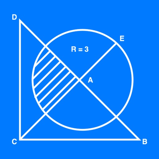
The app calculates properties for triangles, trapezoids, and circles. It accepts various input formats for angles and lengths, displaying results in the chosen format.
Collect and map field data with customizable forms and attributes. Capture data offline or online. Transfer data to desktop GIS platforms. Edit and manage attributes directly in the field. Sync data with preferred GIS software.
Use camera or upload images to objects, animals, insects, furniture, products, tickets, and documents. Get instant insights and information about scanned items. Organize and explore recognized objects with detailed descriptions.
Measure dimensions, angles, and distances using augmented reality. Tap the camera to scan objects and receive precise measurements. Save and share measurement data. Sync with other devices for collaborative projects.
Create and organize notes with grid lines or horizontal ruled lines, or use blank pages. Input text or handwritten notes. Save and manage notes for business use.
Upload photos of statistical problems to get step-by-step solutions and explanations. Track solved problems in a history section. Access previous results for easy reference.