
PicPosition
YOURFULLSTACK, LLC
Capture and share location data with photos
Capture photos and overlay custom titles, MGRS grid, coordinates, UTC/local time, and altitude. Choose which data to include. Save images or share them via text.

Showing 561–580 of 1,000 ranked alternatives.
YOURFULLSTACK, LLC
Capture and share location data with photos
Capture photos and overlay custom titles, MGRS grid, coordinates, UTC/local time, and altitude. Choose which data to include. Save images or share them via text.



Sonani Bharatbhai
Find with precise
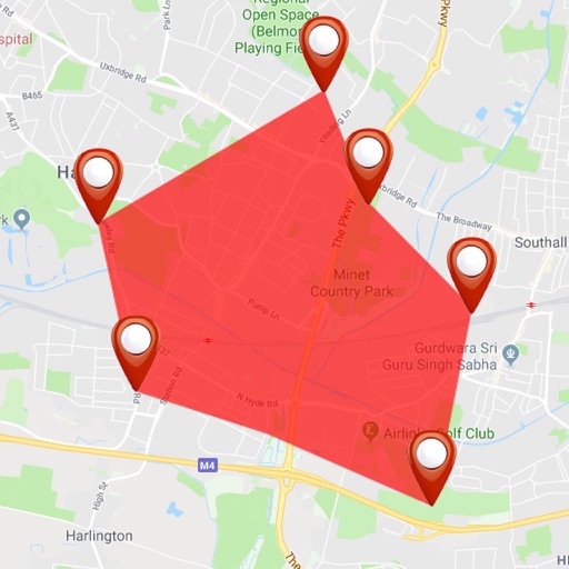
Find using GPS . Search for areas and retrieve accurate latitude and longitude. Switch between standard, satellite, and terrain map views. Calculate area measurements. Share via email or messaging.


ExaMobile S.A.
Rotate , find direction, navigate trails
Use to determine directions and navigate. Rotate device 360 degrees for orienteering. Access camera preview to align with surroundings. Set bearings and track movement without GPS.


Flytomap
Navigate with marine and outdoor
Navigate with marine and outdoor offline. Overlay satellite and terrain data on charts. Access local weather forecasts. View worldwide and satellite imagery when connected. Use NOAA raster data for detailed navigation.

Michael Andreas May
Get precise GPS coordinates averaged.
The app provides precise GPS coordinates by forming an average value from multiple measurements. It reads the current position every second and filters out short jumps to improve coordinate determination.


Craig Hunter
Measure altitude with barometric pressure
Measure altitude using barometric pressure and GPS data. Display real-time altitude readings. Save and review altitude logs. Sync data with iPhone apps. Set altitude alerts and track elevation changes during outdoor activities.

arakawa yuichiro
Check markers, view phases, add custom points
Display markers on the including the Moon for real-time phase tracking. Add custom markers with Premium mode supporting up to 10 entries. Check accuracy affected by nearby metals or magnets. Navigate using intuitive controls without requiring a map.


Suphawadee Yaprasat
Map, , and manage land areas
Land measurement tools allow precise and distance calculations on maps. Coordinate capture enables adding multiple coordinates to maps. Map exploration includes zooming, panning, and layer management.
Apps are ranked by functional similarity, category fit, rating confidence, and popularity.