Measure distances, remember locations, get headings.
The app measures distances, remembers locations, and provides magnetic headings between selected points. It displays coordinates in decimal degrees and degree minute second formats, and allows users to save locations with custom names.
The app provides maps for Sweden, suitable for various outdoor activities like trekking and fishing. The maps are installed on the device and function without cellphone, data, or WiFi coverage.
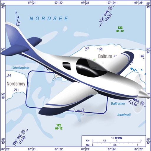
VFR charts for German airfields and helicopter sites.
The app provides VFR charts for German airfields and helicopter landing sites, including French AIP maps. Users require an account for content downloads and map updates, with monthly updates available for a fee.
Explore attractions with detailed maps and event listings. Find recommended tours and local listings. Access travel tools and historical information on music landmarks. Navigate using interactive maps and plan itineraries.
Plan and navigate flights with interactive aviation maps featuring high-resolution worldwide coverage and offline support. Track real-time GPS positions with moving maps.