

Apps Like Assist Maps for iPhone and iPad
Assist Maps screenshots
Ranked alternatives
Showing 541–560 of 1,000 ranked alternatives.

Run Tracker - GPS Fitness Tracking for Runners
30 South LLC
Track runs with speed and distance.
The app tracks speed, distance, altitude, and time, providing a color-coded map of saved runs. Users can receive voice summaries of their progress and view stats for various time periods.
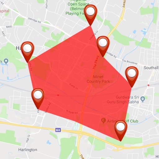



Area Measure & GIS GPS GMapper
Suphawadee Yaprasat
Map, , and manage land areas
Land measurement tools allow precise and distance calculations on maps. Coordinate capture enables adding multiple coordinates to maps. Map exploration includes zooming, panning, and layer management.

Alp - Maps & Lists
ayana group AG
Navigate, share, and explore together
Manage locations and create shared with collaborators. Add professional content and access detailed information. Search network and . Control privacy settings for personal or group use. Earn income by creating professional content.


Outside Maps
Replicade Ltd.
Navigate with offline and turn-by-turn directions
View and navigate mapping data with a touch interface. Access Ordnance Survey for Great Britain at 1:50000 scale. Explore worldwide coverage with detailed topographic and road layers. Search for locations, zoom, and pan across .


EarthConnect 2025
Baria Parthilkumar Ashokbhai
Explore artists, view art, share locations
View artist profiles, styles, and locations on a map. Add and share street art with contact information. Explore art globally and navigate to specific artworks.


UK Parks & Forests GPS OS Maps
Flytomap
UK National Parks GPS Map Navigator
The app provides GPS map navigation for outdoor adventures in UK National Parks. It offers online and offline modes with detailed charts, GPS tracking, and name searching.



How we rank alternatives
Apps are ranked by functional similarity, category fit, rating confidence, and popularity.