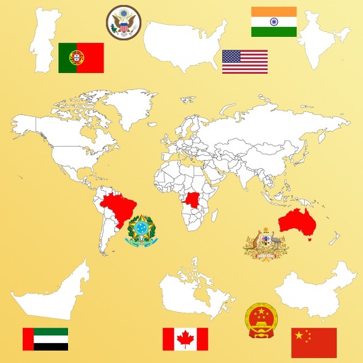
The app provides country facts for 226 nations, including geography, people, economy, and energy data. It allows users to compare key figures side-by-side for each country.
Access detailed world maps and high-resolution regional maps of 165 countries. View administrative, topographic, and climate maps offline. Use without internet or ads. Navigate and zoom in for precise geographic information.
Switch between and maps. Perform bilingual searches in both languages. View clear self-driving tour routes for any country. Zoom in and out at any time. Use the offline for travel, language learning, and global information.
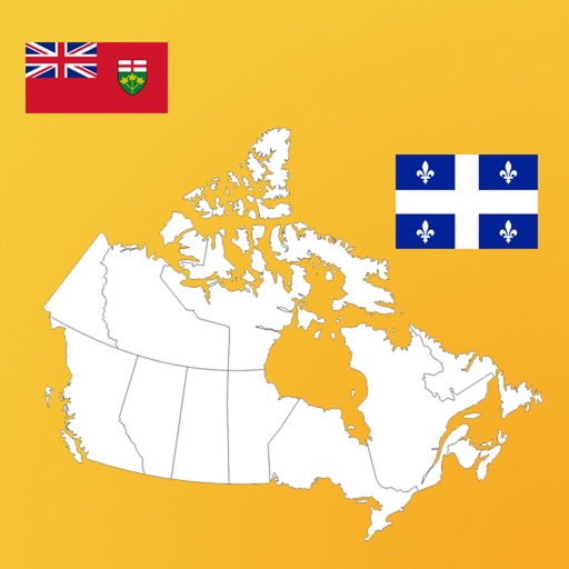
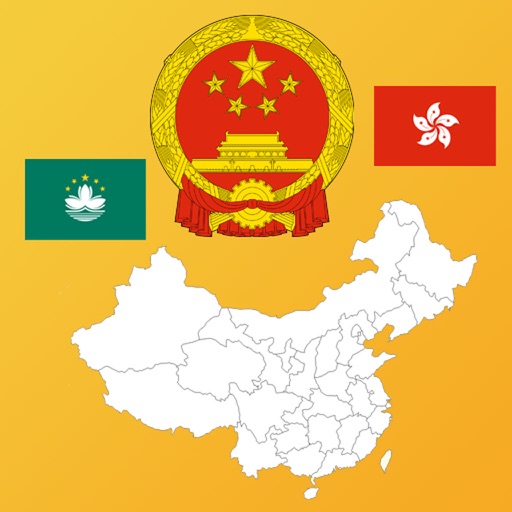
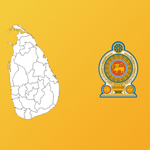
Learn through interactive map quizzes. Identify countries, capitals, and regions. Choose from various difficulty levels and themes. Track progress and review incorrect answers. Share scores with friends.
Identify birds by answering questions, uploading photos, recording sounds, or exploring regional species. Access a database of sightings, sounds, and photos. Learn about characteristics and habitats.
Test your knowledge with quizzes covering maps, flags, capitals, and more. Answer 6000 questions across four difficulty levels. View worldwide rankings and track progress. Learn about 500 countries, regions, and islands.
Learn by identifying countries, capitals, and flags through interactive quizzes. Earn achievements for correct answers. Improve memory and knowledge with age-appropriate challenges designed for children and adults alike.