Access agent-only listing details and search by schools or drive time. Share a branded with clients. Chat with clients and agents. Use TouchID for login. Calculate mortgage payments. Draw and spot tools for property viewing.
Track location, altitude, direction, and geographic coordinates on a map. View detailed with altitude changes. Share photos with location details including coordinates and address.
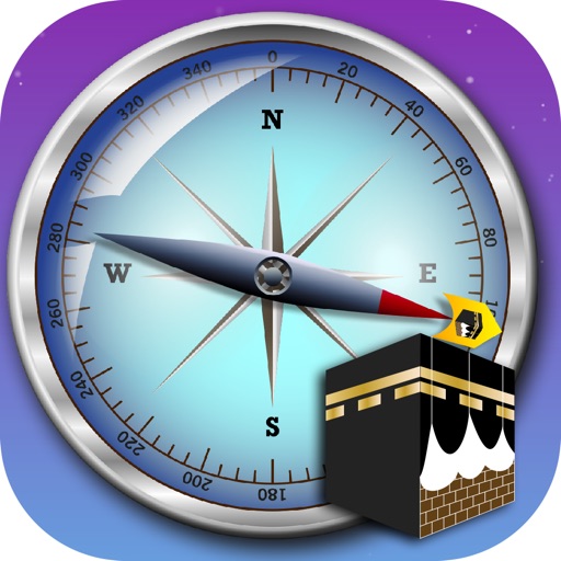
Determine direction using a compass. nearby mosques and pharmacies. Get directions to locations. Calculate distance to Kaaba. Use dhikrimatic feature for prayers.
The app displays a 3D arrow indicating the Qibla direction. It shows the distance to the Kaabah and allows users to view maps, satellite images, and road networks of their location.
Navigate with offline GPS and real-time tracking without cellular service. Access 800+ map layers including government land ownership, private parcel boundaries, and water depths. Cache for offline use and view color-coded land data nationwide.
Track trips with real-time maps and directions. Customize settings for accurate metering. Record and export trip history with sorting options. Charge passengers for rides and manage multiple trips.
Locate parked cars using augmented reality and radar tracking. Save locations with a timer to avoid parking fines. View simple map views and set alerts for parking duration.
Navigation allows users to view and share GPS coordinates in six formats. It includes a , altitude, distance, and sunset/sunrise tracking. Users can set and edit waypoints with photo or audio notes.
Measure geographical orientation with a precise . Display longitude, latitude, altitude, weather, and magnetic field data. Record location points and view saved travel history.
Track speed and distance in miles and kilometers. Monitor real-time speed and display maximum and average speeds. Check speed limits and receive warnings for speed and red light cameras. Access offline maps and view weather conditions.
Navigate using real-time GPS with traffic and transit updates. Explore locations with maps covering 220+ countries. Find businesses, restaurants, and points of interest. Get turn-by-turn directions and track your route.
GPS tracks current speed, distance, and altitude. Displays average and maximum speed. Shows speed limits in real time. Supports mph, km/h, and knots. Measures travel time and battery level. Works offline.