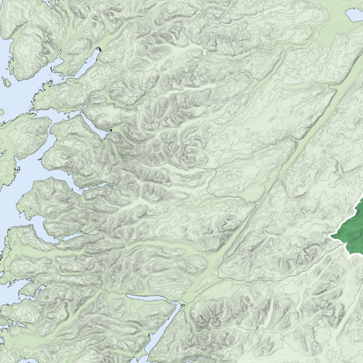
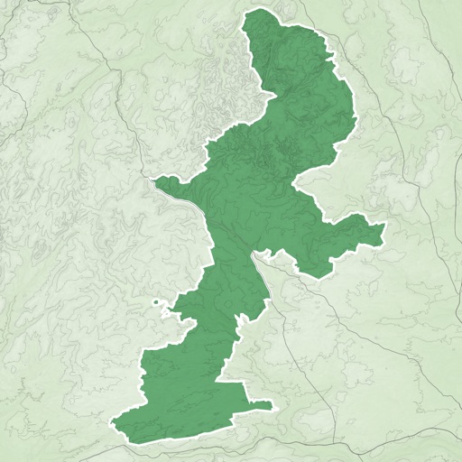
The app provides statewide USGS topographic maps and over 2,000 labeled trails for hiking, walking, and biking. It features a detailed track of Vermont's Long Trail with over 600 points of interest, including water sources and shelters.
Navigate with offline marine, lake, and outdoor maps. Access worldwide satellite and terrain overlays. View local weather forecasts. Use NOAA, USGS, and DRG data for detailed charting.
Navigate with marine and outdoor offline. Overlay satellite and terrain data on charts. Access local weather forecasts. View worldwide and satellite imagery when connected. Use NOAA raster data for detailed navigation.
The app provides worldwide marine, lake, and outdoor maps, satellite imagery, and terrain features. It offers local weather forecasts, tide data, and community information for boaters and fishermen.
The app records user trips, displaying tracks, position, and live information like speed and altitude. It also measures distances, areas, and perimeters by placing points on the map.
Track trails, navigate routes, and share locations
Access trail maps, GPS navigation, and points of interest offline. View club rules, track ride statistics, and receive emergency alerts. Share location with contacts and find nearby snowmobile clubs.
Reserve tee with 3-taps. Use GPS for course navigation. Track score and view course social feed. Manage reservations, redeem rewards, and check promotions.