Identify species by snapping a photo or uploading an image. View details including edibility, ciguatera risk, fishing regulations, alternative names, and common dishes. Access information on safe consumption and local fishing guidelines.
The app identifies shore-fish fauna in the Tropical Eastern Pacific. It covers 1,358 species with over 5,000 images and works independently of the internet.
Access criminological research, publications, and member resources. View conference schedules and abstracts. Join discussions and connect with professionals in crime and delinquency studies. Stay updated with news and policy developments.
Plants by scanning images for scientific names and instructions. Log plants to receive personalized watering and feeding schedules. Scan issues for diagnosis and treatment guidance.
Find open and in Greece by location and time. Search for by medical specialty. Access first aid tutorials in Greek and English. Locate emergency health contact numbers.
Record sounds or take photos to identify species. Use audio and image recognition for instant results. Learn calls and species details with detailed information and illustrations. Save and share identified birds with notes and location data.
The app identifies butterflies and moths of Western Europe with detailed species information, photos, and distribution maps. It includes record keeping, iCloud syncing, and a photo-based finder for identification.
Provides aid guidance for military personnel. Includes basics of aid, rescue breathing techniques, stopping bleeding, and treating injuries. Offers step-by-step instructions for emergency situations.
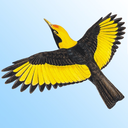
Identify bird species with high-resolution images and descriptions. Listen to detailed bird calls. Search by location, habitat, or sound. Save favorites and access detailed identification tips.
Monitor real-time tornado reports from users and officials. View radar images of reported sightings. Submit and view user-spotted tornadoes instantly. Receive alerts for nearby severe weather events. Track storm progress with interactive maps.
View real-time locations on an interactive map and track their movements. Access detailed profiles on species, including behavior, habitat, and physical characteristics. Receive alerts about sightings and dive safety tips.