Monitor geofence status and events in real-time. Track regions, beacons, and trips. Receive notifications for background events. Test fraud detection features. View detailed state information for all tracked locations.
by Radar Labs, Inc.★ 5.011 ratingsUtilitiesFreeData updated 2026-09-12
Share real-time location with friends and communicate via Walkie Talkie. Create groups with audio rooms for real-time peer conversations. Explore local service recommendations in your city.
Measure speed of vehicles, boats, skiers, cyclists, and animals using motion detection. Track moving objects with a handheld device. Includes three speed measurement tools and two distance estimation tools.
Watch live games and view real-time statistics. Access highlight clips and share game moments. Manage team schedules, track attendance, and receive driving directions and weather forecasts.
Connects to WiFi using Passpoint/WPA2-Enterprise protocols. It tracks location to detect geofencing events. Users can link accounts to enable automatic connections and location-based triggers.
View real-time air traffic over Zurich and Switzerland in a 3D map. Pan, zoom, and fly around the area. Access details about each airplane when available. Identify planes from major EU carriers by their logos.
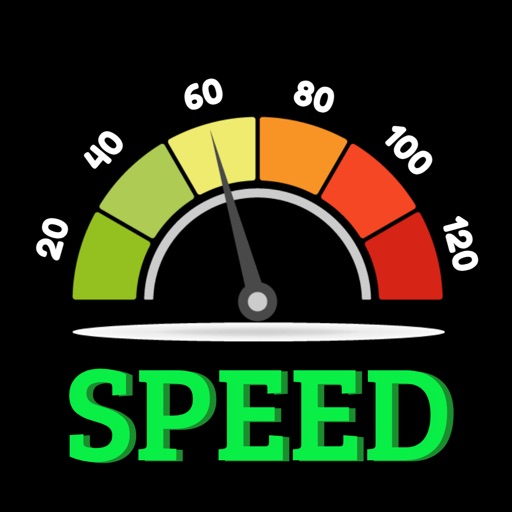
Tracks current speed and speed limits using -based road sign detection and OpenStreetMap data. Displays speed warnings in real time. Alerts users to zone 30, inner-city, and implicit speed limits. Shows speed and at a glance.
The app provides up-to-the-minute rain and wind radar data with full-screen mode and landscape support. It offers pinch and pan zooming, a selected list, GPS location, and a list of nearest radars.
Detects electromagnetic fields using an EMF sensor. Displays a real-time for tracking anomalies. Captures photos and detects spiritual presence. Shows the Six Syllable Mantra as a protective display.
Access and control your home camera network securely through a single interface. View live feeds, navigate camera layouts, and manage camera settings remotely. Connect to a running instance via a secure session-based protocol.
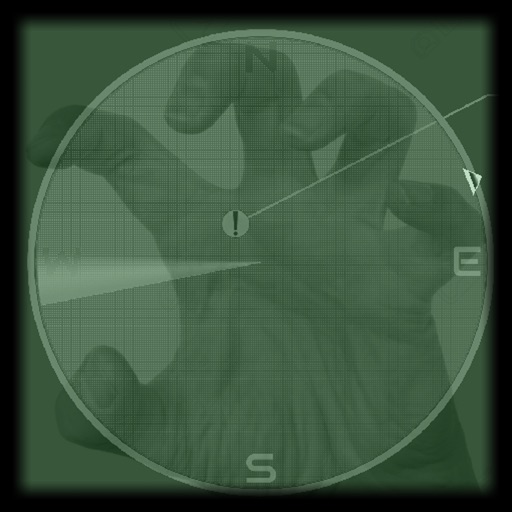
Provides a -time display acting as a compass. It includes a detection sound for alerts and a visual line matching location. Users can scan environments to report position, distance, and strength of paranormal activity up to 7 meters.
Receives real-time alerts from CAD systems and sends priority scene information to devices. It includes routing and navigation tools. Users can view detailed incident data and access maps for efficient response.
Displays detected objects in real-time with XY coordinates. Allows users to configure sensor parameters. Provides visual alerts when objects are detected within the range. Connects via Bluetooth Low Energy to devices.
Track speed, distance, and trip data using GPS. Switch between analog and digital modes. Monitor mph, km/h, or custom units. Record trips and view historical data. Sync with Apple Health for activity tracking.