The app provides detailed wind and weather forecasts for over 160,000 locations. It offers real-time measurements from 21,000 weather stations and tide forecasts for over 20,000 locations.
Display current , hourly forecast, radar, and storm tracker. Customize widget styles and layouts. Check air quality, UV index, and moon phase. Set alerts for severe . Sync with Apple Health for activity tracking.
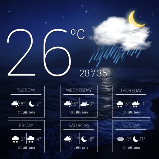
Displays current with minimum and maximum temperatures. Shows 72-hour and 10-day forecasts for global cities. Automatically detects location. Includes animated satellite maps with wind, rain, temperature, and cloud layers.
Measure atmospheric pressure and altitude using built-in GPS and pressure sensor. Automatically calibrate readings with local meteorological station data. Display current pressure and elevation levels. Save historical data for reference.
View detailed NWS/NOAA forecasts with a tap on the map. Access 7-day forecasts including text summaries, spot and zone , snow accumulation, and severe hazards.
Get real-time updates for your current location. View rain, storm, ice, and snow alerts. Check local forecasts and plan activities accordingly. Sync with Apple Health for data.
Check current conditions and forecasts. View interactive radar maps. Receive customizable severe alerts. Access hyper- forecasts from personal stations. Track microclimate changes and historical data.
View real-time animated images with color-coded precipitation. Check future forecasts and detailed data through interactive map layers. Access fire and air quality indexes. Identify freezing rain for road hazard warnings.
View real-time maps with high-resolution layers. Track tropical cyclones, storm cells, and lightning strikes. Access up to 12 hours of data. Plan activities based on accurate predictions.
The app provides detailed wind and weather forecasts for over 160,000 locations. It offers current measurements, tide forecasts, and severe weather warnings for the US and Europe.
Monitor with real-time hurricane, typhoon, and tropical storm tracking. View animated satellite and radar imagery for the US. Access marine weather data and UV index. Receive alerts for tornadoes and severe thunderstorms.
Track storms, hurricanes, and lightning strikes with real-time . Receive severe alerts and hourly forecasts with precipitation details. View wind speed and gusts for up to 24 hours. Plan activities based on accurate insights.
View 7-day forecasts with today’s max and min temperatures. Check 'feels like' temperature and wind details including speed in multiple units. Track humidity levels and precipitation probability. Customize layout and preferred parameters.
Get real-time earthquake updates from 23 global data sources. Search for past and view details including location, magnitude, and time. Receive immediate alerts for new seismic events.
Check real-time air data from 500,000+ locations. View 48-hour forecasts and health recommendations. Track pollution levels globally. Get alerts for sensitive groups. Plan outdoor activities based on air .
Plan activities at sea with real-time coastal weather data. View daily and monthly tide charts, tidal coefficients, and water levels. Track swell height, wave direction, and surf tables.