Point your smartphone at the night sky to identify constellations, stars, and satellites. AR overlays display celestial names in real time. Swipe to navigate different directions. Receive alerts for ISS passes and meteor showers.
by NYANKO SOFTWARE★ 4.5246 ratingsEducationFreeData updated 2026-09-11
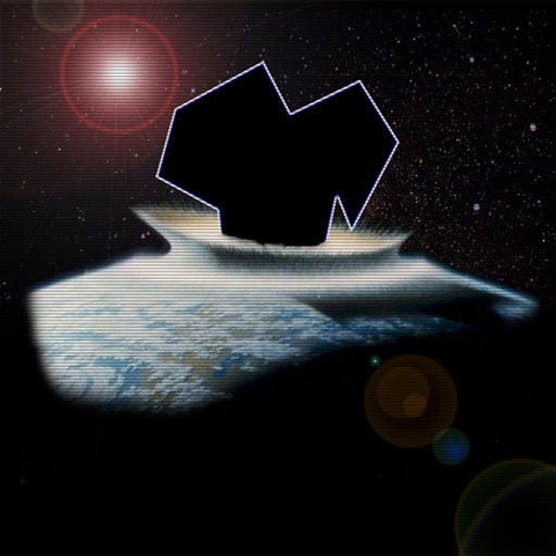
Control a spaceship to shoot asteroids and avoid UFOs. Tap to rotate and fire lasers. Slide to move and thrust. Earn extra ships every 10,000 points. Play through increasing difficulty levels.
Johns Hopkins University Applied Physics Laboratory
Explore space missions and science instruments
Explore ’s mission with real-time imagery and a countdown. View spacecraft data, science instruments, and mission updates. Access educational resources, activities, and news articles. Sync with Apple Watch for quick updates.
Explore cosmic events by analyzing gravitational wave data. Identify potential formations from neutron star mergers. Contribute to scientific research by reviewing and classifying detected signals.
Kids Academy Co apps: Preschool & Kindergarten Learning Kids Games, Educational Books, Free Songs
Sort and classify by shape color.
The app features 12 mini-game boards for sorting and classifying objects. It helps develop skills in sorting, hand-eye coordination, concentration, visual perception, and vocabulary.
Navigate through by choosing direction and initial push. Survive levels by avoiding planets. Features include 3D effects, stunning graphics, Game Center integration, global score sharing, and device compatibility.
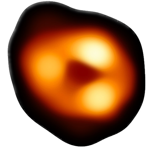
The app simulates gravitational lensing, bending light from distant galaxies. Users can adjust lens models, distort photos from their library or camera, and view the world through a real-time lens.
Explore solar system relative motions and patterns.
The app explores the relative motions of planets, moons, and exoplanet systems. It presents notable patterns created by orbiting bodies and invites users to consider their significance.
Track earthquakes and alerts with real-time data updates. View global locations on an interactive map with zoom and satellite views. Analyze activity trends, depth, magnitude, and disaster impact through an advanced dashboard.