The app helps visitors to Rotterdam find subway stations. It calculates and displays the distance of each station from the user's current location on a map and in a list.
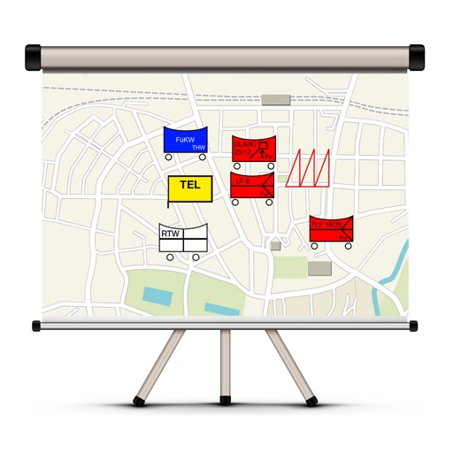
The app allows users to create and edit tactical maps with over 1600 symbols from various organizations. It supports custom map materials, drawing functions, and the ability to record situation reports directly within the application.
Parents and leaders access key information anytime. View Chästlizettel, schedule events, submit warehouse registrations, read news, and manage contacts. Receive push notifications when Chästlizettel or warehouse registration is available.