Displays speed in knots, km/h, mph, or m/s. Shows current coordinates and altitude. Switch units easily. routes and save with position, distance, and speed data. Logs stored as GeoRSS in iCloud for cross-device access.
Compass displays real-time directional indicators showing north, south, east, and west. Users can check their current orientation and view intermediate direction points. The interface is simple and intuitive for easy navigation.
The app offers a compass view with animated wind vectors, temperature, and humidity. It also includes an augmented reality 3-D view and a searchable map view for global weather station data.
The app converts coordinates to UTM EGSA87 Datum and calculates polygon area in square meters. It sends measurements via email in DXF, KML, or TXT file formats for use in various applications.
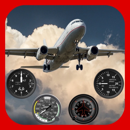
Displays altitude, coordinates, and speed with options for metric or imperial units. Shows accuracy and warns about signal issues. Offers aircraft mode with in feet. Compares current altitude with known values. No ads or data collection.
The app calculates distances and bearings between two points using latitude and longitude. It can also determine a final position from a starting point, distance, and bearing.
Check NFC device status and read various tag types including text, URL, vCard, Bluetooth, WiFi, email, and more. Execute actions on each record. Create NFC tags with templates for email, SMS, URL search, text, address, and vCard.
Access device information including model, data usage, WiFi status, hotspot, screen size, version, UUID, battery percentage, and Bluetooth. Navigate device settings for WiFi, brightness, flashlight, Bluetooth, NFC, and data usage.
Determine direction to using GPS and compass. Display distance to . Show longitude, latitude, and address. Requires GPS permission for accurate calculation.