

Apps Like Trek2There for iPhone and iPad
Trek2There screenshots
Ranked alternatives
Showing 281–300 of 1,000 ranked alternatives.

Digital Speedometer Free
Chad Hine
Monitor speed and direction in real time
Monitor speed and direction with a in metric or imperial units. Display major road and highway speed limits. Highlight current speed in yellow for slight excess and red for significant excess. Supports landscape and portrait orientations.



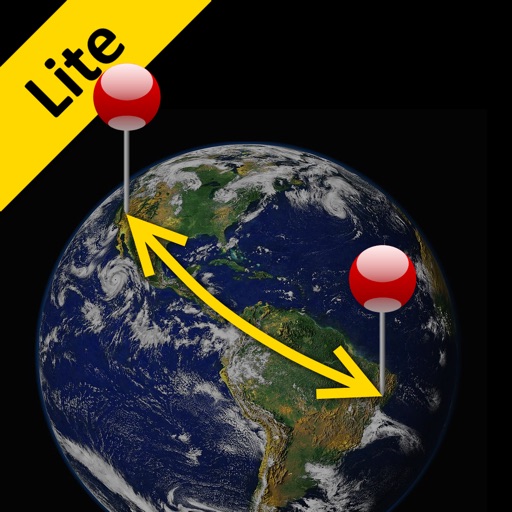
Distance Lite
Piet Jonas
Distance and direction between any places.
The app calculates the shortest distance or distance with a constant bearing between two locations. Users can select current location, enter coordinates, or choose from a database.


GPS Fields Area Measure on Map
Chirag Gabani
Land areas with GPS
Land using GPS technology. Define boundaries on maps to calculate plot sizes. Calculate distances and areas for properties or regions. Save and share measurement data. Sync with mapping services for accurate results.



VPN Tegin: Secure Proxy Master
MOBILEXAPPS MB
Browse with advanced encryption
Internet browsing with TeginVPN. Encrypts internet traffic using advanced protocols. Hides real IP address and follows a no-logs policy. Protects data on public Wi-Fi and remote connections.


My Altitude: Elevation
Shenzhen Jirry Jirry Technology Co., Ltd.
Track altitude and direction in real time
Track altitude with real-time measurements. Use a sensitive compass for accurate direction. Capture latitude and longitude data via camera. Monitor atmospheric pressure and magnetic field readings. Check real-time location data and sync with maps.




Topo Maps Canada
DC Cloud Apps, LLC
Download and view topography
View topographic of for hiking, camping, and outdoor activities. Choose between Base Map and Toporama sources. Download for offline use. Track location, elevation, and movement on the map.

Here Easy
Blue Blink One, SL
Know where users are easily.
The app provides coordinates, direction, and elevation above sea level. Users can save locations by searching and tapping on the map, then send this information via email, Twitter, or SMS.
How we rank alternatives
Apps are ranked by functional similarity, category fit, rating confidence, and popularity.