Provide maps for navigation without internet connection. Zoom into detailed vector maps with continuous updates. Locate points of interest and navigate without roaming charges. Save data by avoiding international fees.
Tracks aircraft positions on real-world maps within -Plane flight simulator. Displays location data during flights. Integrates with -Plane 9 or 10 Desktop versions. Requires full or demo edition for functionality.
The app displays airport information including distance, field elevation, and required descent rate. It shows the user's current speed, course, altitude, and vertical speed, updating all data in real time.
Navigation provides flight planning and in-flight calculations. Users can customize quick access buttons, configure units, and manage blocks and airtime.
The app displays the user's actual position on digital aviation charts. It offers flight planning, route saving, and calculation of distances, flight times, and fuel consumption.
Provide real-time GPS navigation with turn-by-turn voice guidance and live traffic updates. Display speed limits and alert drivers to traps. Access offline maps for areas without internet. Share routes and track progress during trips.
Search destinations, get shortest routes, navigate
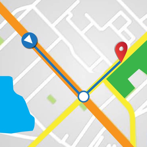
Find locations and plan routes using a 2D map. Search for points of interest or destinations. View the shortest route on the map. Navigate with a simplified interface.
The app supports glider pilots during competitions, cross-country flights, or recreational flights. It offers features like a final glide calculator, terrain map, and airspace warnings.
Track flight paths and waypoints. Display real-time GPS data and altitude. Set navigation targets and receive turn-by-turn guidance. Monitor weather conditions and air traffic. Save and share flight logs. Sync with external devices for telemetry.