The app determines altitude using data from multiple GPS satellites. It allows users to capture dated photographs with altitude information, useful for navigation and emergencies.
The app provides a London Tube map that does not require an internet connection. It includes live alerts for train delays and a GPS locator for the nearest station or line.
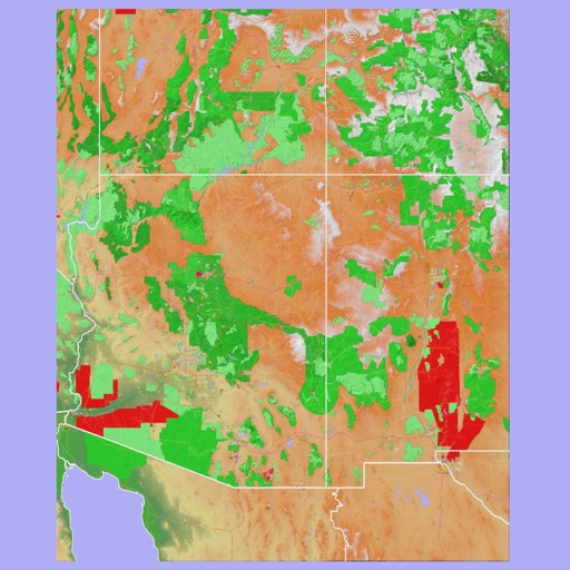
The app provides 3D topographic maps for iPad and iPhone. Vector map data is contained within the app for offline use, supporting navigation in various environments.
View schedules from Split-flap Display and Next Train formats. Load files via iTunes or Dropbox. Display real-time clock alongside schedule data. Adjust display settings for clarity and customization.