Explore geologic features and learn about rock formations. Access location-based summaries and global geologic maps. Document observations and track your geologic journey. Contribute findings and view detailed geological information.
by University of Wisconsin-Madison Shared Apps★ 4.4185 ratingsEducationFreeData updated 2026-09-11
Explore outdoor routes and points of interest with layered maps. View IGN maps, aerial photos, and OpenStreetMap for hiking and . Access Spain and Swiss maps, emergency call coverage in France, and winter trail information.
Navigate the Francés and Portuguese Way routes with detailed GPS and live navigation. Access cached for offline use. View elevation profiles and route details. Locate Albergues, hostels, pensions, and hotels along the path.
The app analyzes nature photos to suggest possible species identifications. It arranges user observations into a dynamic checklist that updates automatically when taxonomic treatments change.
Identify rocks, minerals, and crystals by taking photos or selecting images from the library. AI analyzes characteristics and provides details on type, composition, and properties. Access a comprehensive database for additional information.
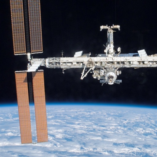
Track and log sightings of 150 visible satellites with time and location details. Record observations and note when each was seen. Browse future passes in preview mode. Explore 9000 visible stars and major constellations with educational notes.
Record bird observations with time, location, and count details. Edit entries to adjust location, time, or bird numbers. Create and organize bird checklists. Share observations and view maps showing observation locations.
The app provides illustrated entries for Nepenthes species, including pitcher photographs, descriptions, distribution, and field notes. Users can filter by region and pitcher type, save selected, and compare species.
Track hikes using background GPS to save routes locally. Upload tracks to .org account to view stats or request publication. Save hikes to device for offline use. Share routes with the community for discovery.
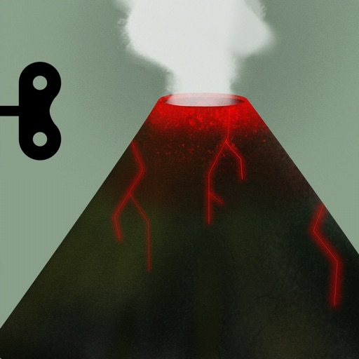
Explore geological processes and ecological systems through an interactive 3D model. Manipulate tectonic plates, simulate volcanic eruptions, and observe erosion over time.
Record observations of wild plants in California with photo, GPS, and notes. Upload data to .org. Access tips by tapping the logo. View detailed information at http://.org/phone/pro.
Track location and movement with GPS. View USGS, US Forest Service, and Canadian . Log trails and waypoints. Navigate offline in areas without cell signal. Display elevation and terrain details. Share route data and historical tracks.
Identify rocks, learn about minerals, explore geological
Identify rocks and minerals using AI-powered image recognition. Snap photos for instant identification. Learn about properties, formations, and locations. Build a collection with detailed notes and photos. Share findings with other users.
Manage young classrooms, save time, throw out paper.
The app helps childcare directors and teachers manage classrooms by tracking attendance, naps, meals, and potty breaks. It allows electronic recording of observations and incidents, with instant access to medical and emergency contact information.