

Apps Like Avalanche Inclinometer for iPhone and iPad
Avalanche Inclinometer screenshots
Ranked alternatives
Showing 141–160 of 1,000 ranked alternatives.


3pMaster: Tripmaster Roadbook
stooj s.r.l.
Measure every meter, follow roadbook.
The app provides a precise GPS tripmaster for off-road, overland, and rally driving. It measures distance, follows roadbooks, and offers voice announcements to keep drivers focused on the trail.



Backcountry Magazine
Height of Land Publications
Explore trails and gear
Read articles and reviews about skiing and snowboarding. Access high-definition images and videos. Learn avalanche safety techniques. Discover gear recommendations and compare products. Track trends in freeskiing and touring.


Density Altitude +
Kristian Ljungkvist
Calculate and track weather data
Calculate , altimeter setting, relative air , and relative humidity using GPS, weather data, and the phone's barometer. Track specific humidity in grains per pound. Suitable for pilots, engine tuning, and outdoor activities.

Ski School Advanced
Elate Media Ltd
Learn ski skills and analyze movements
Watch instructional videos for skiing techniques. Analyze movements with real-time feedback. Practice short turns and workshops on carving, bumps, off-piste, and powder. Set skill goals and track progress over time.



Skate Snowboarding - Ski Games
Survival Games Production
Snowboard tricks and stunts
Play a freestyle game with customizable skateboards and stunts. Perform tricks on mountain slopes and ice surfaces. Compete against other players in skateboarding challenges. Unlock new boards and upgrade skills through gameplay.

Caveman Hero - Run and Jump Collect Dinosaur Eggs
Marut Srimarueang
, run, , avoid avalanche
Run and to while avoiding an avalanche. Tap to control movement. Track progress and unlock new levels. Share achievements with friends.

MyTracks: GPS Recorder
CHENGDU MIAOZHI TECHNOLOGY CO., LTD.
Track location with GPS data
Track routes for hiking, running, cycling, and other activities with GPS. View recorded paths on maps. Save favorite locations for quick access. Measure distance, speed, and elevation. Export data in various formats.


Stryd
Athlete Architect LLC
Personalized training for every runner.
The app provides personalized run training based on a user's fitness and skill set. It offers guidance during runs and insights into performance trends to help users improve.
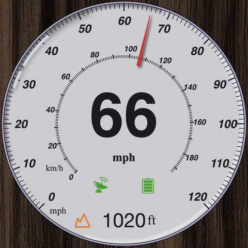
GPS Speedometer and Altimeter
晓溪 张
Track speed with dual scales and unit
GPS measures and displays speed for walking, jogging, cycling, cars, boats, trains, and airplanes. Users can select display units and choose between two scales. Trip recording and average speed tracking are available.

Military GPS Survival Kit
Tigran Mkhitaryan
Navigate with -grade GPS tools
Navigation provides GPS tracking, map navigation, and route planning. Includes tools, field manuals, and live conflict updates. Users can access guides, track locations, and receive real-time news.


HiiKER: The Hiking Maps App
Waymarked Trails LTD
Plan routes, map trails, track progress
Plan routes using detailed topographic and trail data. View points of interest for rest areas, food, and accommodations. Track progress with real-time navigation and route logging. Set waypoints and save custom trails for future trips.
How we rank alternatives
Apps are ranked by functional similarity, category fit, rating confidence, and popularity.