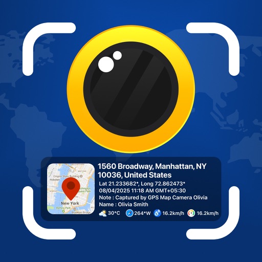
Photos and videos with real-time location, date, time, latitude, longitude, altitude, and weather data. Capture timestamps during拍摄. View map-based location pins for each media file. Export geotagged files with embedded metadata.
View real-time locations and service updates. Track train arrivals and departures. Check station access points and transfer options. Reroute for current service changes. Share map data with other users.
The app offers New Mexico motorists mobile access to travel and traffic information. It includes an interactive map, live camera views, electronic message board data, and travel times for the Albuquerque metro area.
Create unlimited maps and add pins, emojis, and images to each. Share maps with friends via code. Never forget locations with visual markers and personal notes.
Track aircraft using real-time data from multiple air traffic sources. Display flight paths, altitudes, and speeds. Customize map views and set up alerts for specific aircraft. Connect to dump1090, tar1090, or Virtual Radar Server.
Track buses in real time with updates on a map. Tap buses to view their routes and current locations. Access detailed route information and schedules. Plan trips using the city's public transportation network.