Navigate safely in New Zealand's Bay of Islands waters offline. Access entry points, waypoints, and detailed anchorage information including 40+ locations with photos, videos, and activities. Find facilities, marinas, boat ramps, and dive fills.
The app tracks wind sport sessions for kitesurfers and windsurfers. Users can record session details and share them with others, with anonymized location and time data.
And cruise itineraries with real-time updates and sailing schedules. Save and share cruise history across multiple voyages. Find fellow cruisers through roll calls and leave reviews for past trips.
Track real-time wind speed, direction, and wave height for specific sailing locations. View live forecasts and historical data. Set alerts for changing conditions. Share updates with other sailors. Sync with GPS for precise location-based reports.
Navigate New Zealand waters safely with offline access to detailed routes and waypoints. View anchorage information and route details. Customize map layers to manage displayed data. Mark and save waypoints for future reference.
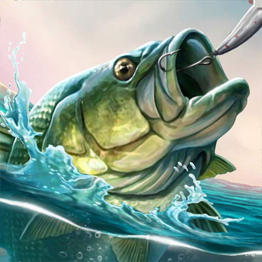
Catch fish in realistic 3D environments with detailed animations and physics. Navigate through various ocean levels to target species like swordfish, shark, and marlin. Upgrade equipment, manage resources, and track progress through different zones.
Access sailing clubs, marinas, fishing information, charters, parts suppliers, repair shops, boating lessons, and weather data in . View boating schedules, submit service requests, and locate nearby facilities for boating activities.
Track position and course over ground. Mark and edit waypoints. Measure distance in nautical miles and meters. Calculate course to waypoint. Display speed in knots, mph, or km/h.