View live movements on a global map. Use AR to identify ships via device camera. Tap ships to see name, type, and destination. Colour-coded icons aid identification. Track over 20,000 vessels simultaneously without clustering.
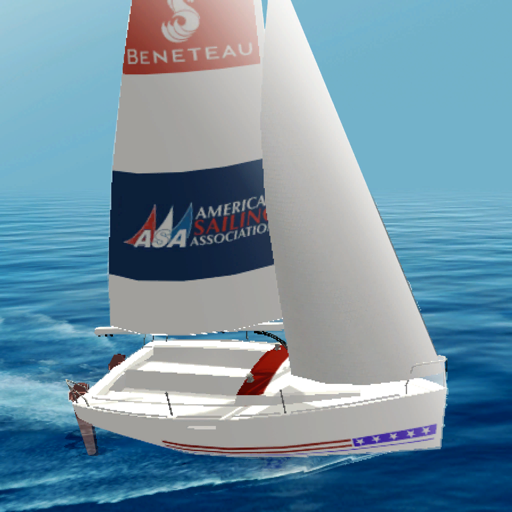
Learn sailing basics with illustrated guides on boat parts, crewing skills, navigation, and safety. Access at-a-glance information to develop competency. Track progress through interactive lessons and quizzes.
Answer lifestyle questions to create a personalized growth plan. Discover potential future height. Receive a tailored program to naturally stimulate growth. Track progress monthly with updates based on performance and new data.
Load and secure cars onto a trailer. Navigate roads to deliver vehicles to designated locations. Manage fuel and time while avoiding obstacles. Complete missions with realistic driving mechanics and vehicle handling.
View and manage files with customizable map displays. Import files from cloud services, local devices, or emails. Choose between Apple Maps, Google Maps, OpenStreetMaps, or custom tile sources. Adjust colors for waypoints, track points, and routes.
Track flights globally with real-time status updates. Search for specific flights or airlines. View departure and arrival times, delays, and gate information. Receive notifications for changes. Share details with others.
The app displays real-time GPS position on marine charts derived from NOAA data. It includes features for waypoints, routes, and AIS overlay when connected to a compatible system.
Plan trips by entering a destination to view route options and step-by-step instructions. Buy tickets for buses, check live bus times, and track vehicle locations. Find bus services for daily commutes or weekend adventures.