
AgraScout
Neucadia, llc
Scout crops, share reports, track pests.
The app identifies over 250 insects, diseases, and weeds. Users can take and share geo-located photos, access pest tracking data, and email scouting reports.

, track distance, share results
Distances, perimeters, and areas using GPS. Place markers on or objects. Share results with colleagues. Calculate quantities like spray or fertilizer needed. Export measurements for record-keeping.
Showing 321–340 of 1,000 ranked alternatives.
Neucadia, llc
Scout crops, share reports, track pests.
The app identifies over 250 insects, diseases, and weeds. Users can take and share geo-located photos, access pest tracking data, and email scouting reports.


Jerry Mayers
Solve geometry problems without a notepad.
The app calculates properties for triangles, trapezoids, and circles. It accepts various input formats for angles and lengths, displaying results in the chosen format.


Beijing Honghu Yuntu Technology Co., Ltd.
View drawings, , annotate
View and manage CAD drawings with support for DWG, DXF, and PDF formats. Open multiple files simultaneously. Use scale tools to distances in meters and perform continuous length measurements. Add annotations and markups directly on drawings.


Agri ImaGIS Technologies Inc.
Analyze imagery for scouting and reporting.
The app analyzes high-resolution imagery from a personal archive for scouting and reporting in the field. It offers offline capability, storing field data locally for viewing without an internet connection.

Pivot Point Partners LLC
Capture images, attribute to parcels, update property
Manage appraisal tasks, capture and assign images to parcels, and update property details. View and edit datasets, import/export data, and monitor collected information through a cloud-based admin site.


GK Technology, Inc.
Track GPS locations and visualize maps
Survey points, lines, and polygons with GPS tracking. Log full GPS data for fields. Create quickmarks during surveys. Visualize data in map view. Use internal or external GPS devices.


TapLogic, LLC
Farm records and phone calls on phone.
The app allows users to enter farm records, equipment service logs, spray records, and take notes or pictures. Users can draw field boundaries with GPS or by hand and sync to a web account for reports and history.
Sergii Nesterenko
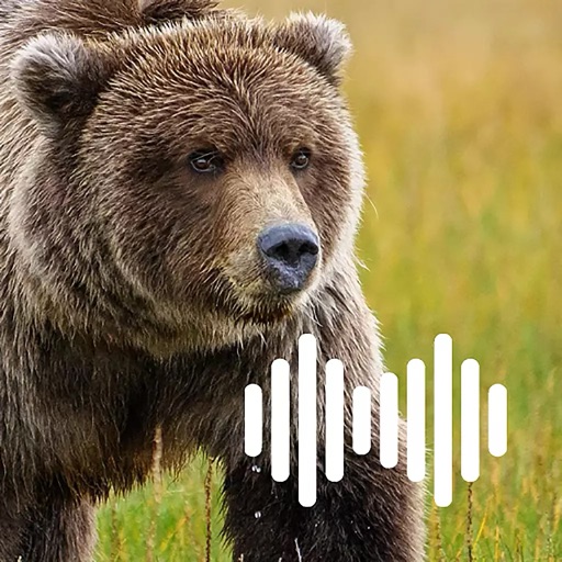
Record and play calls offline
Create custom call sequences with adjustable delays between sounds. Play pre-recorded growls, roars, and cub distress sounds. Loop calls in the background while using the . Access all features offline and with the screen locked.
Apps are ranked by functional similarity, category fit, rating confidence, and popularity.