

Apps Like Compass 55. Map & GPS kit. for iPhone and iPad
Navigate with map, , and GPS
Navigation allows users to view and share GPS coordinates in six formats. It includes a , altitude, distance, and sunset/sunrise tracking. Users can set and edit waypoints with photo or audio notes.
Compass 55. Map & GPS kit. screenshots
Ranked alternatives
Showing 661–680 of 1,000 ranked alternatives.


iPlotter Solent
Colin Porteous
Plan routes with waypoints and calculate true
Create passage plans by selecting waypoints from a database. Calculate true course and distance. Automatically determine magnetic variation and derive magnetic heading.


Bearingator
Viacheslav Gorev
Point at object, see bearing value
Determine the bearing of objects by pointing the iPhone at them. A vertical line shows the bearing. Tap to switch between true north and magnetic north. Uses built-in sensors for orientation without internet.

DriveRecord
著显 朱
Map, route, record, and share journeys.
The app displays the user's current position and compass on a map. It offers route planning, records visited locations, and allows users to capture photos and videos.

myLocation Status Updater GPS
iDevver Apps Limited
Update location status on social media.
The app allows users to update their location status on Facebook and Twitter from a single application. It supports searching for any landmark or location on a map and checking the weather for any location.

Wild Game Tracker
Nevin Morrison
Track and navigate wilderness
Track and mark wildlife such as big , fish, predators, small , and birds with a long press. Sort markers by time periods and save images for reference. Draw boundaries to identify property lines and store landowner information.


GCBuddy - geocaching
WA Verhoef
Calculate coordinates for geocaching puzzles.
The app assists geocachers with multi-caches by recording values A-Z to automatically calculate waypoint coordinates. It also records parking locations for easy return and downloads cache images for paperless caching.
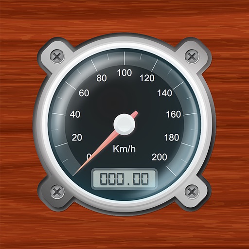
Speedometer-PRO
3B Soft srls
Speedometer and GPS trip computer.
The app tracks trips and exports data in gpx and kmz formats. It synchronizes local tracking data with a configurable OpenGTS server for fleet tracking.



ADK 46er Now
One Bad Ant
Climb peaks, track progress, share routes
Plan hikes and summit attempts with detailed trail maps and elevation data. Track progress on each peak with logging and completion status. View real-time weather conditions and safety alerts for hiking areas.
How we rank alternatives
Apps are ranked by functional similarity, category fit, rating confidence, and popularity.