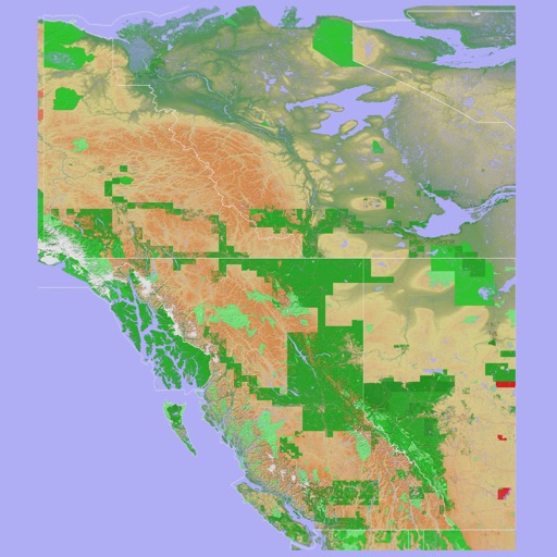
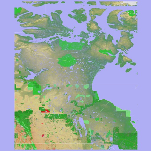
The app provides a 3D topographical map of Western Canada. Map data downloads to the device for use without an internet connection, allowing users to view terrain features as small as ten meters.
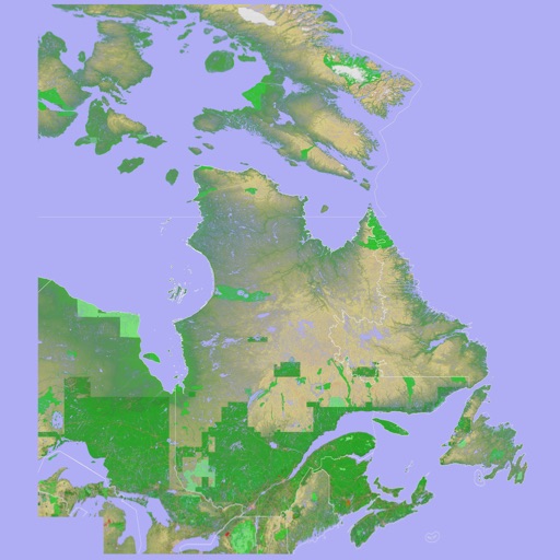
The app presents a 3D topographic map of Eastern Canada. Users can download map data for use without an internet connection, suitable for various travel methods.
The app identifies summits, shelters, lakes, and springs in the Vosges mountains. It guides users to tourist attractions, picnic areas, and villages, and allows photo capture with location details.
The app provides the name of the nearest place, its area, and country. It offers links to nearby Wikipedia articles with thumbnail images and allows users to sort them by rank or distance.
The app adds a compass to the iPad, utilizing the built-in magnetic compass or a sun compass. It is suitable for outdoor activities like hiking and biking.
Record and view hiking tracks with detailed topographic . Navigate routes using GPS coordinates. Mark waypoints and save locations. Display elevation changes and compass direction. Sync with Apple Health for activity tracking.
The app functions as an angle gauge for selecting sample trees during timber inventory using the point sampling method. It allows users to calibrate the gauge, change its appearance, and select from common Basal Area Factor values.