Track speed, max speed, average speed, distance, travel time, and stop time. Measure acceleration from 0 to 60 mph. Receive speed limit warnings in HUDWAY mode. Displays trip data in a digital GPS speedometer format.
by Roman Baulin★ 4.3920 ratingsNavigationFreeData updated 2026-09-11
The app provides real-time GPS tracking for outdoor activities. It offers route planning, navigation, and track recording with live statistics, all while ensuring user privacy with no data collection.
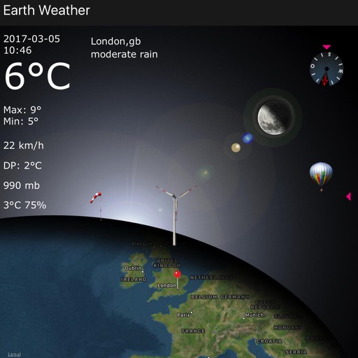
Displays current data including temperature, windchill, humidity, wind speed, direction, barometer, and moon phases. Shows station name or town. Provides a 4-day forecast.
Display geographical in DMS, DDM, DD, and UTM formats simultaneously. Show altitude from GPS, network API, and barometer. Display GPS accuracy. Track position in real time.
Ships and vessels in real time using interactive maps. View detailed AIS data including speed, course, and location. Explore global marine traffic and identify cargo ships, cruise liners, tankers, and fishing boats.
View trip maps and statistics like top speed and energy usage. Connect via Bluetooth to check charging status, manage settings, and receive firmware updates. Contact for support.
Receive station alerts based on location to avoid missing stops. View real-time travel information and updates. Access schedules and route details for accurate planning. Stay informed with timely notifications during commutes.
Track vehicles, monitor routes, and share locations
Track vehicle movement with real-time GPS updates. View and save travel routes. Set destinations and receive turn-by-turn navigation. Monitor speed and fuel levels. Share location with contacts. Sync with maps for accurate directions.
Track driving routes and monitor fuel consumption. Receive real-time traffic updates and navigation guidance. Set speed limits and receive alerts. Sync with vehicle systems for enhanced safety and efficiency.
Provide real-time GPS navigation with turn-by-turn voice guidance and live traffic updates. Display speed limits and alert drivers to traps. Access offline maps for areas without internet. Share routes and track progress during trips.