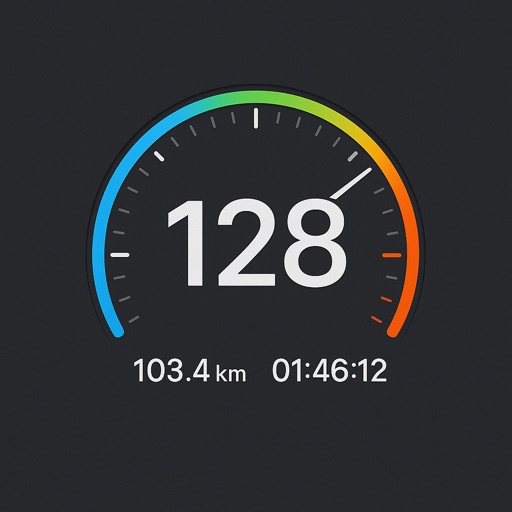
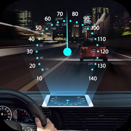
Track speed, max speed, average speed, distance, travel time, and stop time. Measure acceleration from 0 to 60 mph. Receive speed limit warnings in HUDWAY mode. Displays trip data in a digital GPS speedometer format.
by Roman Baulin★ 4.3920 ratingsNavigationFreeData updated 2026-09-11
Monitor speed and direction with a in metric or imperial units. Display major road and highway speed limits. Highlight current speed in yellow for slight excess and red for significant excess. Supports landscape and portrait orientations.
Monitor vehicle speed and distance traveled in real time. Control engine on/off remotely. Track fuel consumption and generate daily, weekly, and monthly reports. Set maintenance reminders and improve fleet safety and productivity.
Track sailing voyages with a digital that records vessel details, weather conditions, and route information. Log each trip's data automatically. Share logs with other sailors and connect with the sailing community.
Monitor with a real-time speedometer and average calculations. Receive alerts for traps, police radar, and traffic incidents. Display current limits and detect police presence. Provide accurate location data and real-time traffic updates.
View current speed and direction in multiple units. Adjust compass arrow direction. Change background color based on speed. Access real-time data from nearby weather stations using location.
Instantly retrieve your current with GPS. Save favorite locations and view interactive maps with 3D terrain. Track real-time speed and share locations directly. Get directions to saved or entered destinations.
Track your car's location in real-time to locate it easily. Monitor speed live while driving. Receive alerts for speed cameras to avoid fines. spots and receive notifications when your car is moved.
The app displays current heading, course, speed, coordinates, and altitude. It offers street, topographic, and aerial maps, with cached maps available for a day.
Display real-time speed with a digital interface and set speed alerts. Track routes on a built-in map, save trip history, and export tracks in GPX format. Switch between light and dark themes.
Enter MGRS or coordinate data to navigate to specific points. Adjust pace count and track deviations. View distance, speed, and angle settings in meters/km or feet/miles. Analyze movement patterns for navigation improvement.
Access real-time ocean data including wave heights, wind speed, water temperature, and currents from over 750 buoys. View detailed forecasts and conditions for sailing, surfing, and fishing.
Get current coordinates in latitude/longitude and MGRS format along with altitude, course, and speed. Toggle features on or off to customize the interface. View accurate location data for navigation purposes.
Projects speed, clock, weather temperature, cruise control, and now playing song information onto the windshield when iPhone is rotated and placed near the windshield. Displays data in landscape mode for easier visibility while driving.