AI Assistant provides step-by-step guidance based on user questions. Users can explore attractions like museums, canal cruises, and tulip day-trips. The allows comparison and booking of tickets, tours, and activities.
Scan rooms to create accurate 3D models and 2D floor plans. Capture spaces using LiDAR-enabled Apple Pro devices. Export scans as CAD files or 3D models. Share digital blueprints directly from the .
View 360° photos and videos in virtual reality. Play content from Insta360 One X2, X3, GoPro Fusion, Ricoh Theta, and other 360° cameras. Navigate immersive with intuitive controls. Supports VR headsets for full-screen viewing.
View and interact with 3D SKP files. Rotate, pan, zoom, and adjust rendering settings. Choose between surface or wireframe display. Access file details such as size, dimensions, and other metadata.
Helps users find Polaris or Sigma Octantis for polar alignment. It displays current direction, elevation, latitude, longitude, and altitude. Users can check alignment status and adjust setup accordingly.
Calculate distances and areas using GPS coordinates. Place markers on a map to measure distances between points or total of a route. Delete markers by tapping them. Export results for further use.
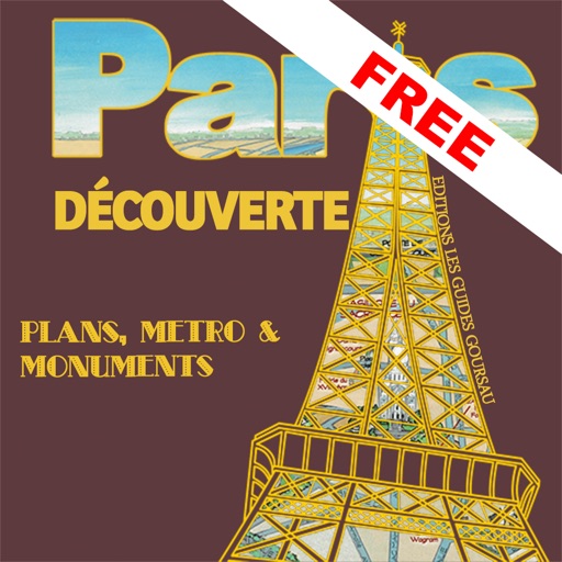
The app presents a hand-drawn 3D map of Paris, showing major sites and attractions. It provides details for attractions and includes a metro map to aid navigation.
Create plans to keep the camera focused on a subject with smooth transitions and precise framing. Set autonomous paths for difficult shots. Adjust camera angles and follow subjects automatically. Share logs and video footage directly.