Track solar wind and sun/moon data to predict visibility. Set locations and receive alerts for optimal viewing times. Report sightings to update other users. View historical activity maps and weather conditions.
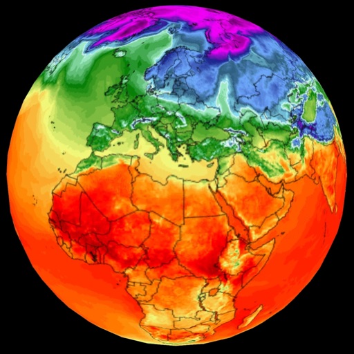
View historical data for any location, including daily highs and lows, precipitation, sunshine hours, and sea surface temperatures. Analyze trends to plan trips and avoid disruptions.
Capture current location with one tap or manually mark points on the map. Organize pins into categories and filter by date or type. View location history and add event notes for specific locations.
The app provides a spiritual and scientific calendar system based on planetary positions. It includes details on lunar cycles, planets, moon/sun combinations, and sunrise/sunset timings for various global cities.
Monitor live solar imagery from NASA's Solar Dynamics Observatory. Track solar flares and coronal mass ejections. Receive alerts and forecasts for northern and southern lights. View real-time Kp index predictions and visibility maps.
The app provides daily weather information with a clear home page and changing backgrounds. It offers current conditions, 7-day forecasts, sunrise/sunset times, radar, satellite data, and air quality information.
Find and select colors using intuitive gestures. Save and share colors with their hex codes. Edit colors using a hex keyboard. Capture colors from images. Choose from themed palettes.
Track sun and moon positions on a live map for golden hour, blue hour, sunrise, and sunset planning. Calculate ND filters, depth of field, motion blur, and exposure settings. Plan timelapses and estimate print quality from pixel data.
The app provides tide times for 74 Irish locations, functioning offline without a signal or data. It includes an interactive tide graph, location search, and selected.
The app provides animated weather illustrations and detailed forecasts. It allows users to check multiple cities and dates for trip planning and ask weather questions in natural language.