Apps Like EastPoint Shuttle Tracker for iPhone and iPad
Track buses and view real-time maps
Track bus arrivals in real time with estimated arrival times and route maps. View timetables for Dart and Luas routes. Receive updates on service disruptions and delays. Navigate using interactive maps and schedule pickups.
by Tribe Digital Ltd★ 0.00 ratingsTravelFreeData updated 2026-09-11
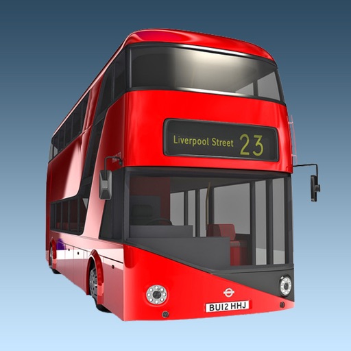
The app provides real-time bus arrival information for all London bus stops using Transport for London live data. Users can find bus stops by name, ID, or current location to check upcoming arrivals.
Provide real-time transit updates, schedules, and route planning for local buses and trains. View arrival times, trip alerts, and service changes. Navigate using maps and search for stops or routes. Share trip details with others.
Book bus tickets for intercity and intra-city routes. View real-time seat availability and select preferred seating. Track bus location and estimated arrival time. Receive notifications about delays or route changes.
Register for an electronic queue to bypass international checkpoints by providing driver, vehicle, and cargo details. Receive estimated waiting times and route planning updates. Adjust queue duration or cancel as needed.
Navigate using augmented reality maps with zoomable offline regional views. Locate points of interest like bus stops, restaurants, and hospitals. Access city tips, safety information, and nightlife options.
Find the nearest station using GPS. View detailed and subway routes with transfer options. Explore stations by name or line. See high-resolution maps and line sequences for clear navigation. Plan trips with real-time route guidance.
The app displays the real-time GPS location of Toronto TTC buses and their arrival times. A map shows bus stops and current bus locations, aiding trip planning and scheduling.
Access real-time subway schedules and station maps. Navigate routes, check delays, and find nearby exits. Receive notifications about service changes and disruptions. Plan trips with step-by-step directions.
Plan routes using multimodal transit data from multiple public transport networks on the island. Access real-time schedules, ticket purchases, and service alerts. View trip details and estimated arrival times.
Provides offline maps with zoom functionality and regional details. Includes interactive points of interest like bus stops, restaurants, and hospitals.
Plan trips by finding routes and purchasing tickets for trains, buses, and urban transport. Buy single or periodic passes. View real-time schedules and track your journey. Sync with public transport systems in Małopolska.
The app provides real-time arrival predictions for New York City transit, including subways and buses across all five boroughs. Users can find nearby stops, view next arrivals, save selected stops, and receive service alerts for delays and changes.
Track flights in real time with flight details, radar views, and global flight paths. View aircraft models, destinations, and speeds. Set alerts for specific flights and access historical flight data.