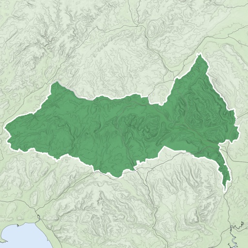
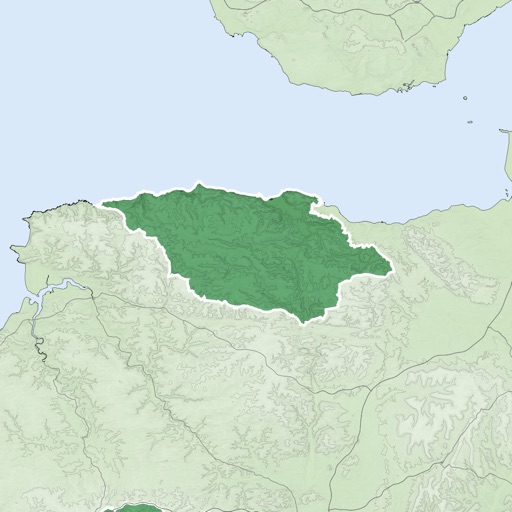
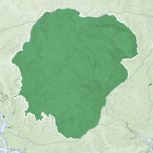
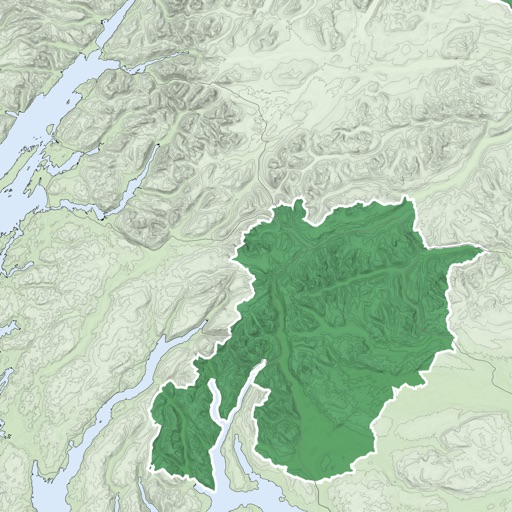
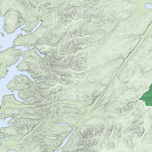
Manage and organize spatial geodata with maps stored in a catalog. Download and view maps in CMF2 format. Process and analyze geospatial data in the field without authorization or payments. Export ArcGIS maps to CMF2 using Builder.
by XTools Pro, Inc.★ 4.6228 ratingsNavigationFreeData updated 2026-09-11
View artist profiles, styles, and locations on a map. Add and share street art with contact information. Explore art globally and navigate to specific artworks.
Mark locations on maps by pinning or entering GPS coordinates. Organize saved places into folders and access favorite spots quickly. Navigate using integrated Google Maps or preferred mapping services.
The app provides offline mapping for iOS devices using downloaded OSM vector maps. Users can navigate without an internet connection, ideal for travel or areas with no service.
Record and view hiking tracks with detailed topographic . Navigate routes using GPS coordinates. Mark waypoints and save locations. Display elevation changes and compass direction. Sync with Apple Health for activity tracking.
Save and organize locations with titles, notes, photos, and voice memos. Create folders to group locations. Share across major map apps. Track and manage work sites, travel stops, or personal places. Set private access and view details.
The app offers unlimited free map downloads based on Ordnance Survey OpenData, with options for paid map downloads. It allows users to mark waypoints, plan routes, record tracks, and import/export GPX files.
Search for activities by location or place. Filter options allow customization based on interests. View results on a map or in list format with brief descriptions. Access detailed information, maps, and GPS directions.