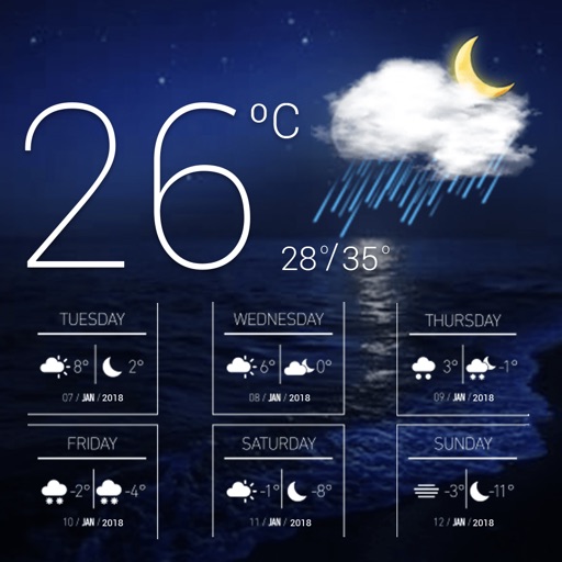
Receive real-time weather and emergency alerts from NWS and IPAWS for up to five locations. View detailed forecasts, maps, and severe weather tracking. Access disaster preparedness guides and emergency contact information.
Access real-time buoy data for . Search by location, name, or region. View on a map and save favorites for quick access. Retrieve data offline when available.
Check current weather conditions and hourly forecasts. View 7-day forecasts and weather alerts. Access radar and live video feeds. Receive updates on severe weather warnings. Track local weather from KFDX, KJTL, and Texomashomepage.com.
View real-time traffic incidents and from WYDOT 511. Receive customizable push notifications. Add CCTV camera groups to home screen widgets. Access winter weather analysis and track planned events.
Navigate buildings and locations using detailed . Search for classrooms, facilities, and services. Get directions between locations. View real-time updates and event schedules. Sync with calendars. Share with others.
View real-time forecasts with an interactive map. Set customizable KP index notifications. Track solar wind data, geomagnetic power, and space weather forecasts up to 27 days. Receive SWPC and view short-term graphics.
Receive live warnings with real-time tracking across all 50 states. View active warnings with polygon boundaries on maps. Access affected population and county data. Get daily activity summaries.
View real-time traffic incidents and . Check planned events and weather alerts. Receive customizable push notifications. Access CCTV cameras and set home screen widgets. Track winter driving and traffic camera groups.
Plan trips with detailed guides, street and public transport maps, and daily itineraries. Find nearby and activities. Use augmented reality to view points of interest. Get local recommendations and read trusted reviews.
Find current fuel prices in West Coast regions. Locate fuel stations with maps and driving directions. Track carbon reduction with CleanDrive reports. Check vehicle compatibility and fuel specifications. Access support in English and Spanish.
Explore animated datasets like Saturn’s rings, atmospheric storms, and climate change. Rotate and zoom 3D models. Compare data layers. Save and share visualizations. Learn about environmental processes through interactive imagery.
Plan routes with vehicle-specific guidance, including dimensions and fuel type. Access traffic updates and multi-drop planning. Find relevant points of interest and gas stations. Track progress and receive real-time navigation assistance.
Navigation provides turn-by-turn driving directions with live traffic updates. Download and use without internet. Explore new locations with detailed content. View traffic conditions to avoid congestion. Save and access without limits.