

Apps Like Sail Buddy for iPhone and iPad
Track course and speed with NMEA data
Displays course, speed, and NMEA data in a clean interface. Supports split screen mode on tablets. Integrates with Apple Watch for real-time tracking. Allows side-by-side use with navigation apps.
Sail Buddy screenshots
Ranked alternatives
Showing 201–220 of 1,000 ranked alternatives.

Desert Maps: Navigator Offline
Rachid Smet
Navigate and explore remote areas
Navigate off-road trails and remote areas with maps and turn-by-turn directions. Mark waypoints, track routes, and view elevation data. Access terrain details and compass navigation without internet connectivity.

Quickgets Geo: geodata widgets
Alvaro Maroto Conde
Track location, speed, and altitude
Displays current course, speed, altitude, coordinates, orientation, and weather using GPS and compass. It includes advanced bookmarking, Street View, and live Flyover mapping features.


Strut
Thickpolicy LLC
Explore the world, track travels.
The app tracks user travels and surroundings through exploration. Users can open up the world, level up, and climb leaderboards while earning medals.

EasyTrails GPS
Zirak Srl
Track trails, log routes, and map
Track outdoor activities with real-time GPS mapping, displaying distance, time, elevation gain, and speed. Compare routes with downloaded tracks and view points of interest.



GPS Speedometer and Altimeter
晓溪 张
Track speed with dual scales and unit
GPS measures and displays speed for walking, jogging, cycling, cars, boats, trains, and airplanes. Users can select display units and choose between two scales. Trip recording and average speed tracking are available.

Lisbon Travel Guide
TicketLens GmbH
Plan trips, compare tours, build itineraries
Plan trips by asking AI for step-by-step guidance. Explore attractions like hilltop castles and seaside day-trips. Compare and book tours, tickets, and activities within the . Save favorite places and create personalized itineraries.


Meteogram for iPhone
Michal Frankowski
View temperature, pressure, and wind trends
View weather trends for the next 48 hours with graphical depictions of temperature, atmospheric pressure, humidity, wind speed, and cloud cover. Tap anywhere on the chart to see specific data.

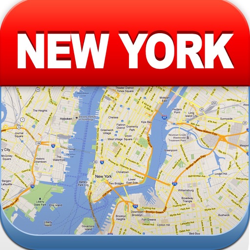
New York Offline Map
Green Lake Technology Ltd
Navigate NYC with maps
View maps of New City, including subway and airport routes. Navigate using real-time GPS without internet. Bookmark addresses for trip planning. Access top attractions and explore without data usage.


NYC Bus Tracker - MTA
婧嘉 郭
Track buses and view real-time schedules
Monitor real-time MTA bus schedules and track bus locations via GPS. View arrival predictions and route maps. Receive notifications for schedule changes and service alerts. Share trip details with others.

CycleComputer Pro
Guillaume Fleury
Track speed, distance, and route in real
Track cycling speed, distance, and route in real time. Choose from three display modes: digital, analog, or map. View ride history and manage past rides. Automatically stop the timer when movement stops. Swipe to navigate between screens.

Power & Sail NZ
Sail South Pacific Ltd.
Navigate routes and waypoints offline
Navigate New Zealand waters safely with offline access to detailed routes and waypoints. View anchorage information and route details. Customize map layers to manage displayed data. Mark and save waypoints for future reference.

CoMaps
Anton Wenemoser
Plan trips and navigate offline
Navigation allows users to plan trips and navigate without cellular service. View and edit maps based on OpenStreetMap data. Search waypoints and save locations offline. Track routes and share maps. Prioritize privacy with no user identification.
How we rank alternatives
Apps are ranked by functional similarity, category fit, rating confidence, and popularity.