Check real-time bus arrival times at stops. Save favorite stops and routes. View nearby buses and automatically locate the nearest station. Support VoiceOver for accessibility. Receive daily air quality updates.
by 羊秀 刘★ 4.910 ratingsNavigationFreeData updated 2026-09-11
Track real-time locations, view current routes, and check stop arrival times. Receive notifications for schedule changes. Set preferred stops and receive alerts when shuttles arrive. Share trip details with others.
Locate nearby bus and tram stops, bike parking, relay parking, and nearby points of sale. View real-time schedules for upcoming bus and tram arrivals. Find optimal routes combining walking, cycling, bus, tram, funicular, or LER.
Book trips and track bus schedules to know arrival times. View past and future bookings. Check-in using generated eTickets. Manage trip details and access real-time updates.
Access real-time subway maps and route information for Shenyang. Find optimal transfer routes with estimated time, cost, and distance. Save or share route details as text or images. Bookmark favorite lines and stations.
The app provides integrated query functions for bus stops, routes, vehicles, and dynamic systems in Kaohsiung City. It supports real-time arrival information for frequently used stops and can search for nearby bus stops using GPS.
Track bus locations, routes, and estimated arrival times with real-time updates. View grouped stop names and ETA details for clearer navigation. Submit feedback on ETA accuracy to improve service.
Find public in with real-time location data. View nearby options on an interactive map. Access details like distance, toilet type, accessibility, and opening hours. Navigate to locations using integrated directions.
Record and track favorite drinks with custom entries, brand selection, and personal details. View consumption trends and analyze preferences. Sync with HealthKit for health data integration.
Access real-time subway data and accurate route planning with precise transfer options, time, cost, and distance details. Receive on-time arrival alerts and explore nearby dining, shopping, and entertainment with one-click navigation.
The app provides real-time arrival predictions for Twin Cities transit, including buses and light rail. Users can find nearby stops, view next arrivals, and save selected stops for quick access.
View live locations of trains and stations. Check bus route schedules and timings. Access ferry information. Retrieve suburban timetables and routes. Display maps with station details. Provide offline functionality for transportation data.
Check real-time subway schedules and routes for 35 cities. Find transfer points, station locations, and operating hours. Search nearby stations and report route errors. View maps, fares, and exit information.
Navigate using augmented reality maps with zoomable offline regional views. Locate points of interest like bus stops, restaurants, and hospitals. Access city tips, safety information, and nightlife options.
Track real-time arrivals for Local and Commuter Buses, Metro Subway, and Light Rail. Search for routes and save stops. View live data for accurate scheduling. Receive updates on next vehicle arrival times.
A utility offers realistic sound effects of 28 objects for tapping and playing. Users can loop sounds, shake to trigger effects, and combine multiple sounds.
The app provides real-time public transit tracking for multiple cities including Toronto, San Francisco, and Los Angeles. Users can view arrival times, save selected stops, and see routes on a map.
Check balance and load funds onto Muğla Kart. View bus schedules and see approaching buses at stops. Use muğlakart+ to create a digital IBAN for combined transportation and shopping payments.
Find parking spots near destinations with real-time availability and pricing. Navigate to parking entrances and charging stations. Pay for parking via QR code or license plate. Retrieve vehicles using indoor navigation with offline maps.
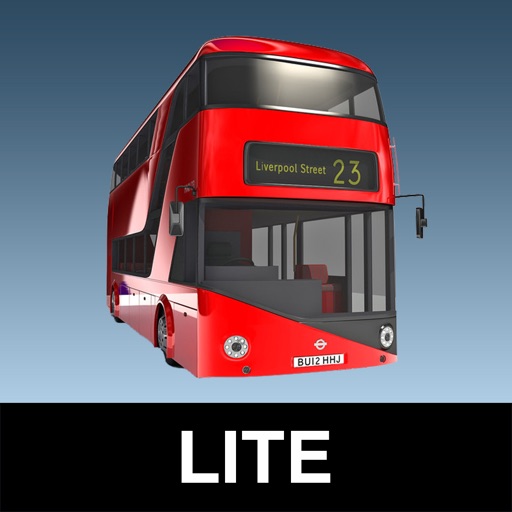
The app provides real-time bus arrival information for all London bus stops using Transport for London live data. Users can search for bus stops by name, ID, or current location to see upcoming arrivals.
Find nearby places with distance and travel time. View ratings and reviews. Use a to locate the nearest joint. Track your journey with steam technology indicators. Explore maps or spin a to discover new options.