View nautical charts in S-57, S-63, iENC, and BSB/KAP formats. Use external NMEA/AIS data over WiFi. Display official HO S-57/S-6 charts. Navigate river, channel, and harbor routes. Access real-time positioning and vessel tracking data.
Log trips with real-time speed, direction, and distance tracking. Store past journeys for review. Export trip data as GPX, KML, or GeoJSON for use in other applications.
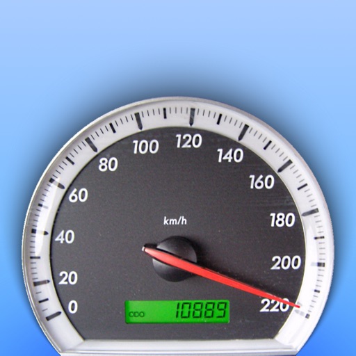
Monitor vehicle performance with real-time speed display and track 0-60 km/h and 0-100 km/h acceleration times. Access precise GPS data with 1-meter accuracy. Log ride details and view performance metrics.
Broadcast workout updates to followers on a map in real-time. Track progress during races, training runs, bike rides, or triathlons. Share location data so supporters can monitor your route and status.
The app provides precise GPS coordinates by forming an average value from multiple measurements. It reads the current position every second and filters out short jumps to improve coordinate determination.
The app offers a GPS speedometer, odometer, and trip meter with an 80s digital meter design. It also includes fuel management and a music player, calculating fuel economy and remaining fuel.
Monitor elevation with a large, clear display that adjusts to your device. Choose between GPS or barometric sensors. Track real-time elevation changes. View barometric pressure in multiple units. Display accuracy details visually.
The app calculates running pace and speed using distance and time inputs. It offers an interface for calculating distance, time, pace, and speed on one screen, with units in kilometers and miles.
Track walks, runs, and rides with detailed maps. Log activities, view distance and time metrics. Analyze patterns and set goals. Sync with Apple Health. Monitor streaks and receive motivational feedback. Export activity data.