Measures roadway curve angles in degrees. Calculates combined effects of superelevation, vehicle roll, and lateral acceleration. Provides advisory speed recommendations for horizontal curves. Syncs with devices for data storage and analysis.
by Christopher Dry★ 4.544 ratingsUtilitiesFreeData updated 2026-09-10
GPS-based digital displays current speed during driving, flying, cycling, or boating. Shows head-up display mode on car dashboard. Displays maximum speed limit and road name. Includes linear compass for direction.
Measure atmospheric pressure and altitude using built-in GPS and pressure sensor. Automatically calibrate readings with local meteorological station data. Display current pressure and elevation levels. Save historical data for reference.
Track routes, find waypoints, and navigate offline
Navigate outdoors with offline GPS maps and real-time augmented reality. Track waypoints and custom locations. Use a gyrocompass, speedometer, altimeter, and inclinometer. Find celestial bodies and measure angles.
Turns smartphone into a with 3 viewing options. Calibrate all 4 sides and display angle, slope, or roof pitch. Includes sound effects and orientation lock. Supports surveyor, carpenter, mason, torpedo, post, and line levels.
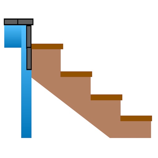
Calculate risers, run, angle, length, step height, tread depth, and number of steps. Adjust parameters for customization. Switch between Imperial and Metric units. Email or text results as needed.
Monitor real-time GPS accuracy and switch between latitude/longitude and DMS formats. Copy with one tap. Toggle between metric, imperial, and nautical units. View location data quickly with a simple, reliable interface.
Record video of rides with telemetry data. Overlay telemetry on video for assembly. View recorded routes with video, telemetry graphs, and real-time map positions.
With accurate readings. Save and synchronize results to Apple Health. Set reminders for checks. Export data and view measurement records. Add and edit notes to individual entries.
Measure tilt angles from 0 to 359 degrees. Display in degrees, percentage, and sum angles for 180 or 360 degrees. Switch to theodolite mode and set specified angles to 0 degrees.
Display current location and customizable info on large text screens. Create waypoints using location, crosshairs, or coordinates. Organize waypoints into overlays and navigate to them with arrows or maps. Track movement and view location details.
Monitors driving behavior to improve safety. Tracks speed, acceleration, and braking. Calculates a driving score. Offers potential premium savings through the program. Shares driving insights with insurance providers.