

Apps Like Geo Elevation - Map Elevation for iPhone and iPad
Geo Elevation - Map Elevation screenshots
Ranked alternatives
Showing 601–620 of 1,000 ranked alternatives.



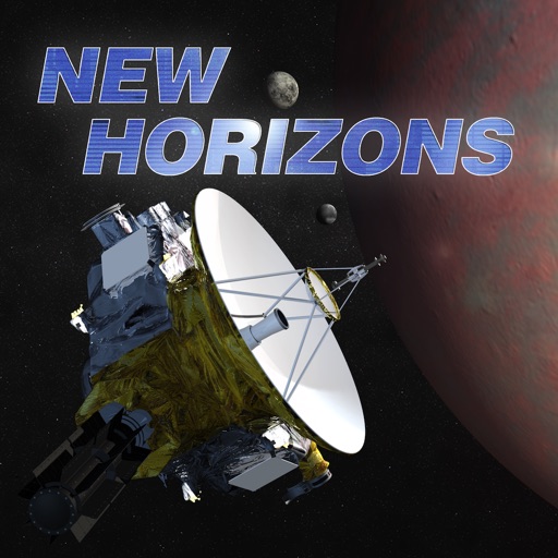
New Horizons: a NASA Voyage to Pluto
Johns Hopkins University Applied Physics Laboratory
Explore space missions and science instruments
Explore ’s mission with real-time imagery and a countdown. View spacecraft data, science instruments, and mission updates. Access educational resources, activities, and news articles. Sync with Apple Watch for quick updates.



Pro Altimeter for Watch
Craig Hunter
Measure altitude with barometric pressure
Measure altitude using barometric pressure and GPS data. Display real-time altitude readings. Save and review altitude logs. Sync data with iPhone apps. Set altitude alerts and track elevation changes during outdoor activities.

Garmin VIRB Edit
Garmin International
Combine video, GPS, and data.
The app combines VIRB video footage with GPS and other data. Users can re-frame video content, stitch 360º videos, and add data overlays to create shareable video experiences.


Mountain identifier: Peak AI
Brew Kft
Identify mountains with AI scanner
Use phone camera or upload image to identify mountains. View details about location, elevation, and notable features. Access maps and related information for hiking or study purposes.


AFrame Pro: Frame Analysis
Jutarus Ratanasethakul
Analyze two-dimensional frame structures professionally.
The app analyzes two-dimensional frame structures using the Direct Stiffness Matrix Method. It allows users to create, analyze, and understand structural behavior with a modern interface and powerful calculations.
How we rank alternatives
Apps are ranked by functional similarity, category fit, rating confidence, and popularity.