Find nearby places with distance and travel time. View ratings and reviews. Use a to locate the nearest joint. Track your journey with steam technology indicators. Explore maps or spin a to discover new options.
Provides precise readings with deviation error measurement and correction. Displays map navigation and augmented reality features. Tracks map markers and functions in all device orientations.
Find nearby masjids and musallas with an interactive map. View details about amenities like wudu facilities and parking. Get directions using Google Maps. Browse integrated photos of the masjid’s architecture and environment.
The app provides a map for Tokyo Disneyland in Japan. Users can find attractions, restaurants, and shows, with directions available via GPS and compass.
Displays speed and direction on the windshield via iPhone placement. Tap to switch between mirrored and un-mirrored views. Tap MPH/KPH button to change units.
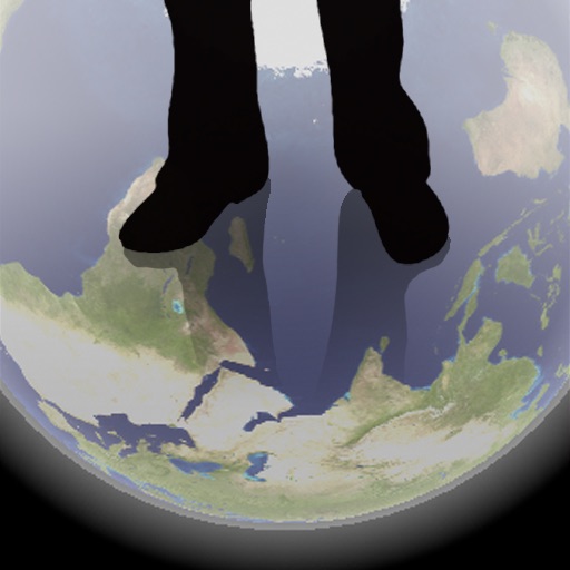
The app shows a transparent view of the earth, allowing users to see the other side of the world beneath their feet. It displays the positions of major cities on a reversed blue marble through a camera overlay view.
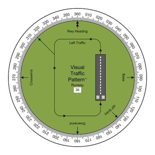
Allows pilots to view runway patterns with finger rotation. Display includes left and right patterns, crosswind, downwind, base, and 45-degree entry headings. Magnetic runway orientation matches aircraft heading for approach visualization.
Navigate using real-time traffic updates and turn-by-turn directions. Access points of interest, search for locations, and view maps. Switch between portrait and landscape modes. Control audio playback and manage call functions.
Track location, altitude, and direction with real-time map updates. View geographic coordinates, address, and atmospheric pressure. Use a detailed compass for navigation. Share photos with altitude, coordinates, and address data.
Access device information including model, data usage, WiFi status, hotspot, screen size, version, UUID, battery percentage, and Bluetooth. Navigate device settings for WiFi, brightness, flashlight, Bluetooth, NFC, and data usage.
Ruler measures dimensions with a 1m scale without calibration. Level meter checks surface levels. Speed meter displays speed via GPS. Location shows current position and tracks movement. Compass provides directional orientation.
Find direction using location and . Display accurate heading. Show prayer times based on location. Include Kaaba location details. Allow users to set prayer reminders. Share direction via social media.