Apps Like Lake Champlain – Boating Map for iPhone and iPad
Navigate with real-time marine charts
View nautical charts for boaters, anglers, and sailors. Overlay charts in a prioritized order based on scale. Navigate continuously without manual chart changes. Access small craft and harbor charts instantly. Adjust chart display for easy reading.
by Vishwam B★ 0.00 ratingsNavigation$2.99Data updated 2026-09-16
Find curated worldwide for hiking, , and exploring. Navigate offline with GPS. Customize based on difficulty and location. Share and track progress. Sync with wearable devices for activity monitoring.
Record workouts with heart rate, speed, elevation gain, and other metrics. Import and export GPX and FIT files. View offline with custom tiles. Overlay routes from GPX, FIT, KML, or GeoJSON files. Generate walking and cycling directions.
Navigate using high-resolution topographic for the U.S., Canada, Australia, and European countries. Download or print for offline use. Track routes with GPS and view elevation details. Access satellite , nautical charts, and OpenStreetMaps.
Track live positions and vessel details with real-time traffic data. View accurate updates on vessel movements across seas, rivers, and ports. Access detailed information about specific ships and monitor maritime activity.
Measure areas, distances, and perimeters with precise pin placement. Mark and save measurements, name and group them for easy access. Share measured maps with colleagues directly.
View VIIRS and DMSP satellite data with customizable overlays including clouds, auroras, and IAU observatories. Display SQM and SQC measurements for . Add personal SQM readings via email. Track radiance changes over time.
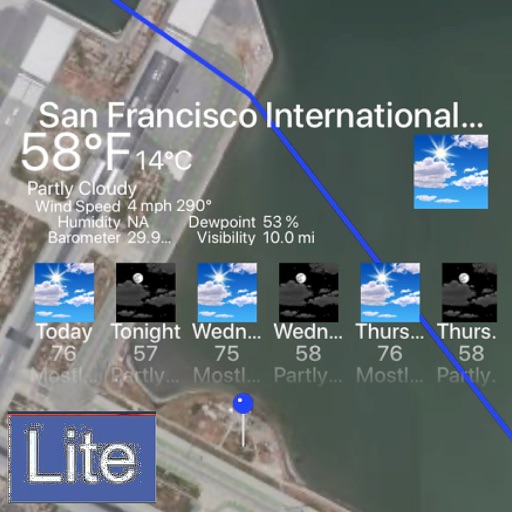
Tracks location, speed, altitude, heading, acceleration, g-force, and atmospheric pressure. Displays and records current weather. Plays back tracks at multiple speeds. Provides suggested routes for reference. Allows pausing and resuming tracking.
Upload photos to automatically generate location markers. Tag images with climb and area names. Explore photos within 100, 10, or 1 km. Find nearby climbs with additional details. Track approaches and add parking . Get driving directions.
Track skiing routes with real-time location data and detailed trip measurements. View visualized routes on maps with distance and elevation metrics. Log ski sessions and analyze performance statistics.
Calculate air , altitude, and other aviation-related metrics using temperature, altitude, humidity, and atmospheric pressure. Input data can be sourced from GPS, weather stations, or entered manually.
Set landmarks on iPhone. View them on Apple Watch mini-map or iPhone AR overlay. Navigate with real-time directions. Receive turn-by-turn guidance. Sync location data across devices. Share map views with others.