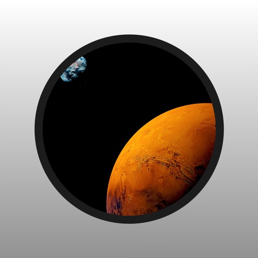
Explore by rotating, tilting, and zooming a 3D globe. Select locations to view topographical data and gravity maps. Pinpoint key features like volcanoes, craters, and spacecraft landing sites.
by Viktor Goltvyanytsya★ 4.4200 ratingsEducationFreeData updated 2026-09-10
Provide maps for navigation without internet connection. Zoom at any level with detailed vector maps. Find locations and points of interest. Avoid roaming charges by using local data. Sync with OpenStreetMap for continuous updates.
Map with detailed vector navigation. Zoom at any level. No internet required. Avoid roaming charges. Locate nearby points of interest. Save data usage. Sync with real-time updates from OpenStreetMap.