Explore by rotating, tilting, and zooming a 3D globe. Select locations to view topographical data and gravity maps. Pinpoint key features like volcanoes, craters, and spacecraft landing sites.
by Viktor Goltvyanytsya★ 4.4200 ratingsEducationFreeData updated 2026-09-10
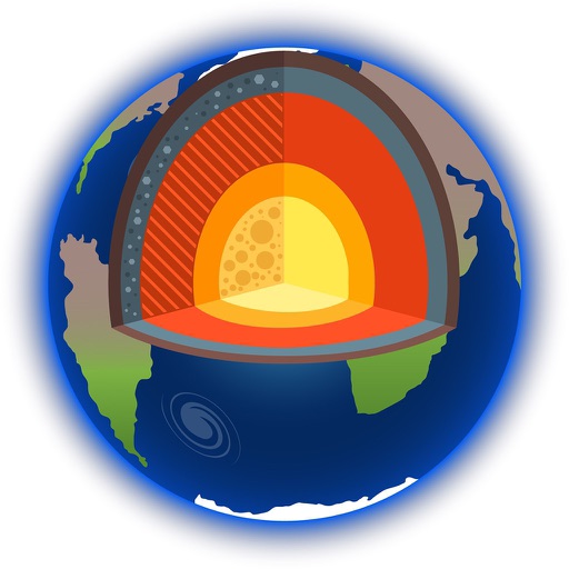
Learn about and its applications in studying Earth and Solar System bodies. Explore methods used in oil and mineral exploration, groundwater analysis, and planetary research.
Provides navigation with detailed vector maps that support zooming at any level. Includes free continuous updates from OpenStreetMap. Helps avoid roaming charges by enabling use.
BLUEPRINT PUBLISHING PROFESSIONAL LIMITED LIABILITY COMPANY
Map historical sites and create your profile
Explore historical and cultural sites through interactive . Create profiles and list personal services. Research and document significant people and places. Connect with others through family ancestry groups.
Provides navigation with detailed vector maps that support zooming at any level. Locate points of interest, plan routes, and save data to avoid roaming charges. Includes continuous map updates without requiring an internet connection.
Provides navigation with detailed vector maps that support zooming at any level. Locate nearby points of interest and plan routes without internet. Avoid roaming charges by using local data. Syncs with OpenStreetMap for continuous updates.
The app displays tide times, light times, sunrise/sunset times, and moon phases for over 720 locations. It shows data in local time, adjusted for daylight saving, and heights in metres without requiring an internet connection.
The app displays tide times, light times, sunrise/sunset times, and moon phases for over 430 locations. It shows heights in meters and all times in local time, adjusted for daylight saving.
View artist profiles, styles, and locations on a map. Add and share street art with contact information. Explore art globally and navigate to specific artworks.