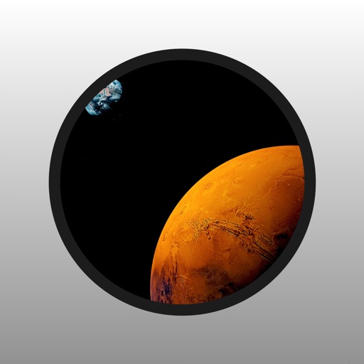
Explore by rotating, tilting, and zooming a 3D globe. Select locations to view topographical data and gravity maps. Pinpoint key features like volcanoes, craters, and spacecraft landing sites.
by Viktor Goltvyanytsya★ 4.4200 ratingsEducationFreeData updated 2026-09-10
Access resources, journals, and books. Register for classes and chat with a librarian. View events calendar, hours, and contact details. Explore an interactive map of locations. Follow social media accounts. Access a blog.
MapTracker allows users to drop pins on a global map and categorize them into collections. Pins can be color-coded and annotated with detailed notes. Users can search for locations, share maps, and sync data across devices.
Mark locations on maps by pinning or entering GPS coordinates. Organize saved places into folders and access favorite spots quickly. Navigate using integrated Google Maps or preferred mapping services.
The app allows users to explore Mars with images from the Mars Rovers Curiosity, Spirit, and Opportunity. Users can view nearly all rover images in panoramic context and explore 3D viewing options.
The app allows users to explore the International Space Station's current location and upcoming visible passes. It also transforms a smartphone into a mobile observatory, displaying stars and planets in the night sky with detailed information.