Explore by rotating, tilting, and zooming a 3D globe. Select locations to view topographical data and gravity maps. Pinpoint key features like volcanoes, craters, and spacecraft landing sites.
by Viktor Goltvyanytsya★ 4.4200 ratingsEducationFreeData updated 2026-09-10
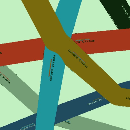
Find the nearest station using GPS. View detailed and subway routes with transfer options. Explore stations by name or line. See high-resolution maps and line sequences for clear navigation. Plan trips with real-time route guidance.
The app presents over 960 images from NASA's Cassini orbiter, detailing Saturn, its rings, and over 20 moons. Users can explore this collection with multiple navigation options and access additional information for each image.
& Subway Map displays route maps with offline data and GPS support to locate nearby stations. It includes a route planner for fastest routes, transfer stations, and line overview.
Find the nearest station using GPS. View detailed routes with transfer points. Navigate through stations via an index. See line details including station order and transit options. Display high-resolution maps for clear visualization.
Explore a map of with interactive statues. Tap to learn about historical and economic achievements. Navigate through the city's landmarks and view detailed information about each statue.
Calculate precise celestial positions using real-time data from 1900 to 2050. Input date and time to instantly recalculate GHA and declination for the Sun and Aries.
Provides maps for navigation without internet connection. Displays detailed vector maps with continuous updates. Helps avoid roaming charges by using local data. Allows zooming at any level for precise location tracking.