Track and view over 5000 spacecraft in real-time using augmented reality. Identify satellites, the International Space Station, and Starlink satellites. Explore detailed graphics with atmospheric effects and city lights.
by Southern Stars Group, LLC★ 4.7965 ratingsReference$7.99Data updated 2026-11-11
Explore scientific concepts through interactive augmented reality . Conduct virtual lab activities, observe 3D models, and perform simulations. Learn about physics, biology, and chemistry with engaging, hands-on experiences.
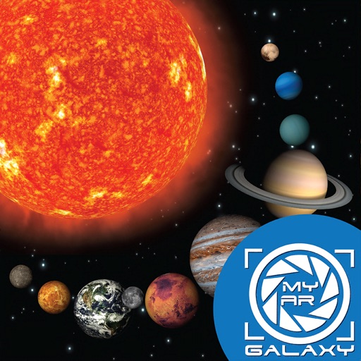
Explore the using augmented reality. Place AR cards to view 3D models of planets and moons. Rotate, zoom, and learn facts about celestial bodies. Share interactive experiences with others.
View and review projects in real time using augmented reality. Upload BIM models via website or plugins. Visualize projects at 1:1 scale in the environment. Access tutorials on YouTube for guidance.
View the positions of the Sun, Moon, and planets on an intuitive sky grid. Slide a time bar to forecast celestial appearances. Navigate without augmented reality or motion tracking.
Learn tricks and illusions through augmented and virtual reality. Explore techniques like misdirection and sleight of hand. Watch AR and VR performances of tricks. Follow step-by-step AR instructions to practice over 30 classic tricks.
Explore augmented reality artworks in Washington, DC. View five interactive installations at four locations. Learn about corporate influence on public institutions. Access artist commentary and historical context. Share experiences with others.
Explore data, visualize insights, and discover new
Explore geographic data and development insights through interactive maps and visualizations. Access public-domain datasets on infrastructure, population, and economic indicators. Filter and analyze data by region, sector, and time frame.
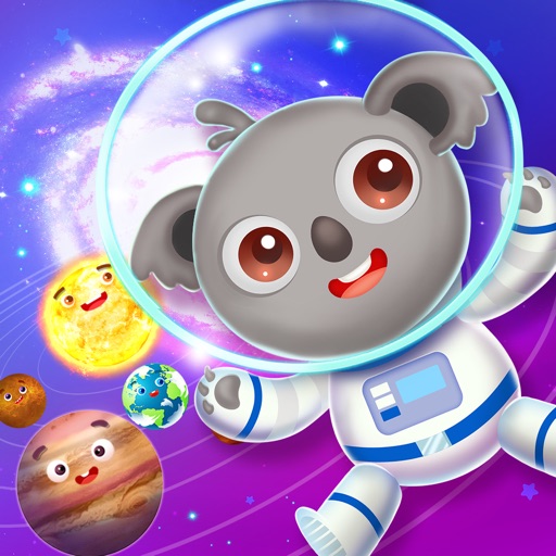
The app teaches children ages 2-5 about the solar system with vivid images and audio descriptions. It covers planet location, size, orbit time, temperature, composition, and relative distances from the sun.
Explore historical sites through augmented reality. View 3D reconstructions of buildings and artifacts. Learn about the history of Japanese American confinement through interactive narratives and contextual information.
Plan trips to with detailed hiking and sightseeing information. Access directions and parking details. Learn about hiking, biking, and camping options. View live satellite maps and track your position within the park.
The app identifies clouds using the International Cloud Atlas classification. It provides detailed descriptions and pictures of cloud types, along with weather forecast information.