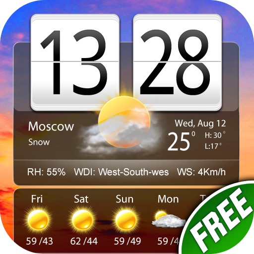
Check current and hourly weather for 24 hours. View 15-day forecasts and precipitation maps. Monitor air quality with color-coded indicators. Receive alerts for severe weather events. Add multiple locations for global tracking.
Check current and extended forecasts with 16-day daily and 400-hour hourly data. View interactive maps showing temperature, rain intensity, and cloud coverage. Customize widgets and receive real-time notifications for weather updates.
View current and forecasted with 15-day predictions and 72 hourly updates. Track rain, snow, wind, and storms. Monitor dew, UV index, humidity, and air pressure. Display high and low temperatures in Celsius or Fahrenheit.
Track conditions with hyperlocal forecasts for over a million locations. Receive lightning alerts and lunar calendar updates. Swipe the Wheel to explore forecasts. Listen to immersive audio for each element.
Check current conditions, view Hour by Hour Planner and 7 Day Forecast. Access Titan Live Doppler radar. Receive instant severe alerts. Track conditions at home or anywhere in the USA.
Provide current with temperature, precipitation, and conditions. Display jokes that change based on data. Allow users to toggle between different color themes linked to patterns. Share updates and jokes via social media.
Display current conditions, temperature, and forecasts with animated scenes matching the . Choose from various types or random scenes. View national and world data. Adjust settings to customize the display.
View current conditions and hourly forecasts for Albuquerque, Santa Fe, and New Mexico. Access interactive radar with 250-meter resolution. Track live storms and receive alerts based on saved or current locations.
View real-time radar and satellite imagery for weather tracking. Explore interactive maps with vertical and horizontal views. Access color-coded alerts by severity. Check the Road Weather Index for road conditions.
View real-time images and forecasts for precise local updates. Track storms and hurricanes with alerts. Access detailed humidity data and multiple perspectives. Share images directly.
Monitor activity with satellite detection, thermal imaging, and weather forecasts. Track large points, view potential indexes, and access national incident reports. Check danger ratings and expected large fires per region.