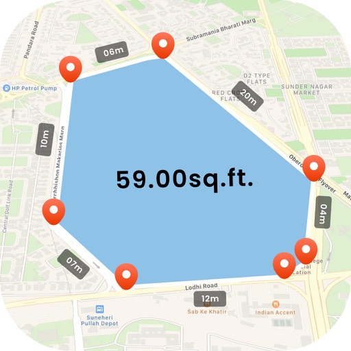
Lets users measure distances and areas on maps. They can plot radius areas with specified centres and sizes. Share maps as images to show routes, areas, or radii. Adjust colors and export map views.
by GV Software Solutions Limited★ 4.09 ratingsUtilities$2.99Data updated 2026-09-10
Monitor your boat's GPS position to detect drifting. Set location with a single click. Receive instant alerts if your boat moves. Track status and receive notifications when lines are ashore.
The app provides subway maps and a route planner with travel time and distance. It calculates trip costs and finds nearby stations using augmented reality.
The app provides metro maps and a route planner with travel time and distance. It calculates trip costs and finds nearby stations using augmented reality.
The app provides subway maps and a route planner with travel time and distance. It calculates trip costs and finds nearby stations using augmented reality.
Manage vehicle by inspecting, loading, and delivering units. Track status and schedule pickups. View auction details and rental fleet routes within a 500 mile radius of Springfield, MO.
The app records trips and displays tracks, position, and live information like speed and altitude. It measures distances, surface areas, and perimeters by placing points on the map.