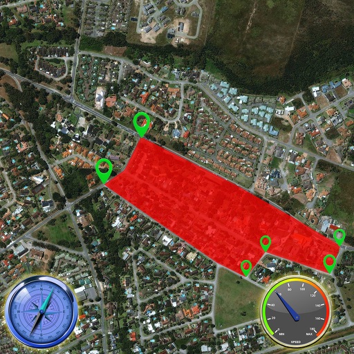
Lets users measure distances and areas on maps. They can plot radius areas with specified centres and sizes. Share maps as images to show routes, areas, or radii. Adjust colors and export map views.
by GV Software Solutions Limited★ 4.09 ratingsUtilities$2.99Data updated 2026-09-10
Monitor boat position continuously with real-time tracking. Set a safe zone and receive instant alerts if the boat drifts outside the designated area. View the safe zone on a map and adjust the warning radius easily.
The app provides altitude difference information and supports left/right green systems. It covers over 60,000 courses worldwide and offers high-resolution maps.
The app functions as an angle gauge for selecting sample trees during timber inventory using the point sampling method. It allows users to calibrate the gauge, change its appearance, and select from common Basal Area Factor values.