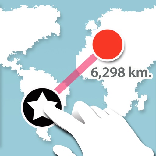
Lets users measure distances and areas on maps. They can plot radius areas with specified centres and sizes. Share maps as images to show routes, areas, or radii. Adjust colors and export map views.
by GV Software Solutions Limited★ 4.09 ratingsUtilities$2.99Data updated 2026-09-10
The app provides worldwide NOTAM access with offline data management, map views, and notifications. Users can bookmark and share NOTAMs, organizing them by flightpath, airport radius, or map selection.
Distances between points or calculate area of locations. Draw paths on maps or tap to add points. Record movement automatically while walking, running, or cycling. Save measurements for later review.
Provides real-time speed, compass direction, and inclinometer readings. Track boat movement with trip logs. Access weather forecasts and tide data. Set and monitor navigation waypoints. Share trip details via email or social media.
Measure distance by dropping pins or drawing paths on a map. Calculate total distance and segments between locations. Search and auto-complete locations. Use current location. Save and share custom maps. View Standard, Hybrid, or Satellite map types.
Plan trips with real-time schedules and route details. Find transfer options, ticket prices, and travel times. Access nearby locations and navigation within the . View site maps and service info. Function without internet connectivity.
The app provides service management features including upgrades, downgrades, topups, and usage breakdowns. It also offers ticket management with creation, replies, and attachments, along with push notifications for system notices and ticket updates.
Distances and areas using a map interface. Start recording by pressing the record button and stop with the stop button. Pause to add new sections. Tap labels to remove sections or the start point. Manage measurements by connecting points.
Find nearby places with distance and travel time. View ratings and reviews. Use a to locate the nearest joint. Track your journey with steam technology indicators. Explore maps or spin a to discover new options.
The app measures the distance of runs, bike rides, or walks. Users can sync saved routes with the website version to switch between desktop and mobile maps without re-entering data.
Check GPS and altitude of your current location. Tap to copy for pasting elsewhere. View current and saved locations in Maps. Share location via SMS or button. Bookmark current location with a name and access saved bookmarks with visit history.
View real-time crime and emergency alerts with location-based notifications. Explore an interactive map to see incident locations and details. Set custom alerts for specific areas or events.
Calculate group size in MOA or inches/cm for paper, steel, or custom targets. Measure precision with a digital ruler. Analyze shot groups to improve accuracy. Track performance with RangeIQ. Share results and compare improvements over time.